Pomnik Armii „Poznań”, Poznań
Map
Gallery
Facts and practical information
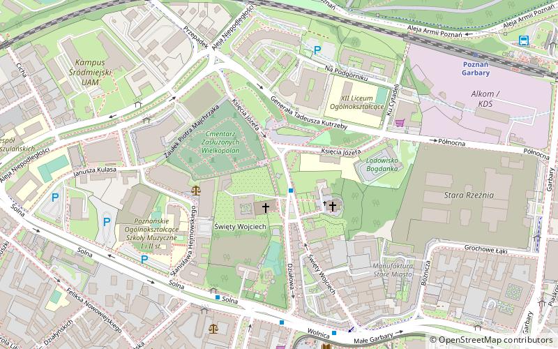
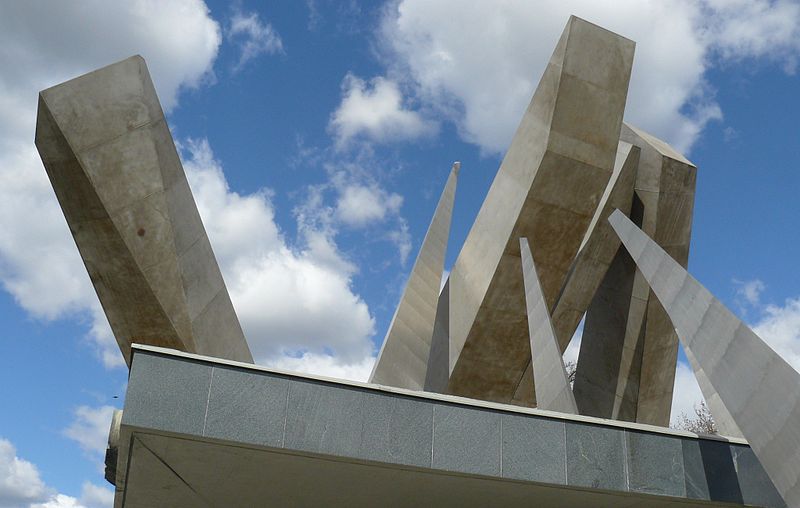
Monument to the "Poznań" Army - a monument to the heroes of the "Poznań" Army, unveiled in Poznań on September 1, 1982, on the 43rd anniversary of the outbreak of World War II. Located on St. Adalbert Hill, between Kutrzeby Street, Prince Józef Street and Niepodległości Avenue, in the eastern part of the former Plac Niepodległości.
Coordinates: 52°24'51"N, 16°55'51"E
Address
Wzgórze Świętego WojciechaStare MiastoPoznań 61-749
ContactAdd
Social media
Add
Day trips
Pomnik Armii „Poznań” – popular in the area (distance from the attraction)
Nearby attractions include: City Hall, Museum of Applied Arts, National Museum, Royal Castle.
Frequently Asked Questions (FAQ)
When is Pomnik Armii „Poznań” open?
Pomnik Armii „Poznań” is open:
- Monday 24h
- Tuesday 24h
- Wednesday 24h
- Thursday 24h
- Friday 24h
- Saturday 24h
- Sunday 24h
Which popular attractions are close to Pomnik Armii „Poznań”?
Nearby attractions include Church of St. Adalbert, Poznań (3 min walk), Cmentarz Zasłużonych Wielkopolan, Poznań (3 min walk), Pomnik Adwokatów Czerwca '56, Poznań (5 min walk), Plac Wielkopolski, Poznań (7 min walk).
How to get to Pomnik Armii „Poznań” by public transport?
The nearest stations to Pomnik Armii „Poznań”:
Bus
Tram
Light rail
Train
Bus
- Wzgórze Św. Wojciecha • Lines: 100 (1 min walk)
- Solna • Lines: 100, 160, 163, 213, 214, 223, 224, 231 (5 min walk)
Tram
- Pl. Wielkopolski • Lines: , 13, 16, 17, 201, 202, 3, 36, 8, 99 (7 min walk)
- Małe Garbary • Lines: 13, 16, 17, 201, 202, 3, 8 (10 min walk)
Light rail
- Poznań Garbary • Lines: Pkm2, Pkm3 (8 min walk)
- Poznań Główny • Lines: Pkm2, Pkm3, Pkm4 (30 min walk)
Train
- Maltanka (31 min walk)
- Poznań Main Station (31 min walk)


