Kleparz, Kraków
Map
Map

Facts and practical information
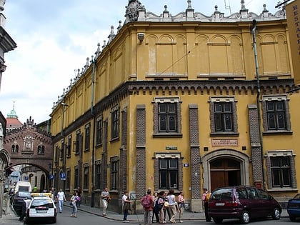
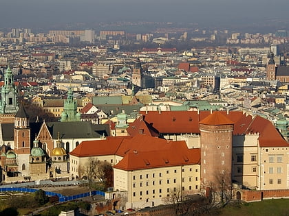
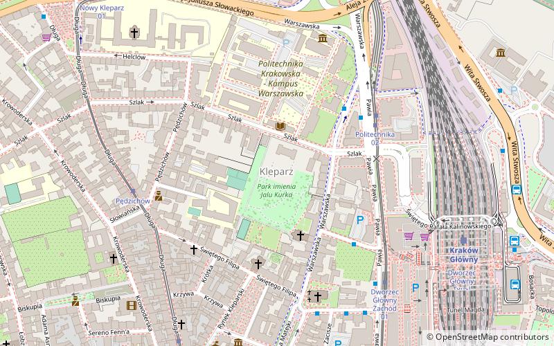
Kleparz is a neighbourhood in Kraków, Poland, situated directly to the north of the Old Town, marking the beginning of the Royal Road. It was a separate town between 1366 and 1792. It is now part of the Stare Miasto administrative district. ()
Address
Stare Miasto (Kleparz)Kraków
ContactAdd
Social media
Add
Day trips
Kleparz – popular in the area (distance from the attraction)
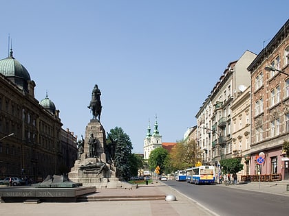
Nearby attractions include: Galeria Krakowska, Barbican, St. Florian's Gate, Grunwald Monument.
Frequently Asked Questions (FAQ)
Which popular attractions are close to Kleparz?
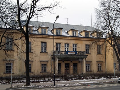
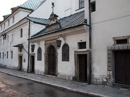
Nearby attractions include Montelupi Palace, Kraków (1 min walk), Tadeusz Kościuszko University of Technology, Kraków (4 min walk), St. Florian's Church, Kraków (5 min walk), Rynek Kleparski, Kraków (5 min walk).
How to get to Kleparz by public transport?
The nearest stations to Kleparz:
Tram
Bus
Train
Tram
- Politechnika • Lines: 17, 19, 5, 50 (4 min walk)
- Politechnika 02 • Lines: 3, 69 (4 min walk)
Bus
- Main Station West • Lines: 105, 129, 130, 154, 304, 429 (5 min walk)
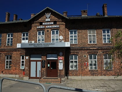
- Muzeum Armii Krajowej N/Ż • Lines: 537 (9 min walk)
Train
- Krakow Main Station (7 min walk)
- Kraków Olsza (27 min walk)

