Park im. Stefana Żeromskiego, Warsaw
Map
Gallery
Facts and practical information
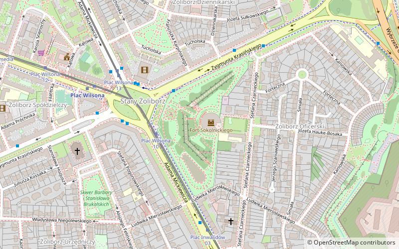
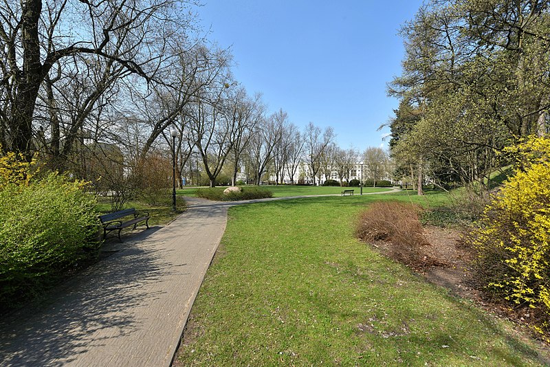
Stefan Żeromski Park - a park in the Warsaw district of Żoliborz located in the area of Mickiewicza, Krasińskiego, Czarnieckiego and Mierosławskiego Streets.
Elevation: 331 ft a.s.l.Coordinates: 52°16'6"N, 20°59'21"E
Day trips
Park im. Stefana Żeromskiego – popular in the area (distance from the attraction)
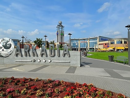
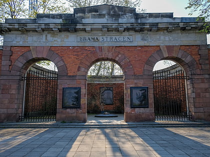
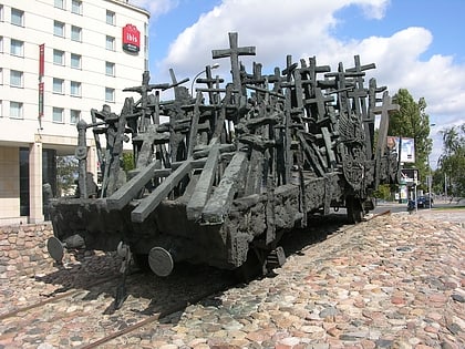
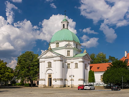
Nearby attractions include: Arkadia Shopping Complex, Warsaw Citadel, Monument to the Fallen and Murdered in the East, St. Kazimierz Church.
Frequently Asked Questions (FAQ)
Which popular attractions are close to Park im. Stefana Żeromskiego?
Nearby attractions include St. Stanislaus Kostka Church, Warsaw (7 min walk), Wilson Square, Warsaw (7 min walk), Żoliborz, Warsaw (11 min walk), Komedia, Warsaw (12 min walk).
How to get to Park im. Stefana Żeromskiego by public transport?
The nearest stations to Park im. Stefana Żeromskiego:
Tram
Bus
Metro
Train
Tram
- Plac Wilsona 10 • Lines: 15, 6 (3 min walk)
- Plac Wilsona 13 • Lines: 15 (5 min walk)
Bus
- Plac Wilsona 07 • Lines: 116, 157, 518, N44 (4 min walk)
- Plac Wilsona 04 • Lines: 122, 157, 181, 185, N46 (5 min walk)
Metro
- Plac Wilsona • Lines: M1 (6 min walk)
- Dworzec Gdański • Lines: M1 (20 min walk)
Train
- Warszawa Gdańska (17 min walk)
- Warszawa Powązki (29 min walk)

