Kopiec Wyzwolenia, Piekary Śląskie
Map

Map

Facts and practical information
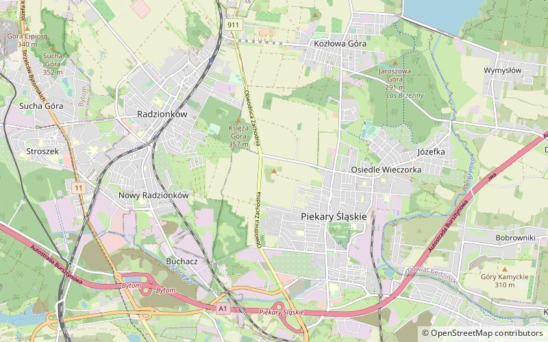
Liberation Mound - a mound in Piekary Śląskie built in 1932-1937 to commemorate the 250th anniversary of King Jan III Sobieski's Polish hussar march to Vienna and the 15th anniversary of the incorporation of the eastern part of Upper Silesia into Poland. It has become a symbol of the fight for Polish identity and a reminder of the Silesian insurgents' struggle. It is the highest point within the city limits and is situated in the western part of the center of Piekary Slaskie.
Coordinates: 50°23'28"N, 18°55'51"E
Day trips
Kopiec Wyzwolenia – popular in the area (distance from the attraction)
Nearby attractions include: Basilica of St. Mary and St. Bartholomew, Park Góra Kalwaria, Kościół pw. św. Wojciecha w Radzionkowie, Kościół Zmartwychwstania Pańskiego.
Frequently Asked Questions (FAQ)
Which popular attractions are close to Kopiec Wyzwolenia?
Nearby attractions include Śląski Ogród Botaniczny w Radzionkowie, Radzionków (18 min walk), Basilica of St. Mary and St. Bartholomew, Piekary Śląskie (21 min walk).


