Oświęcim Basin, Auschwitz-Birkenau

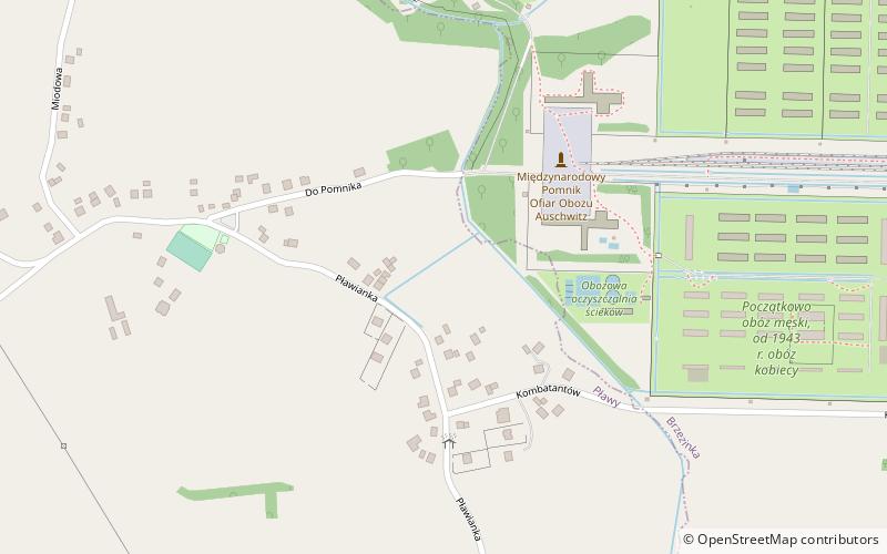
Map
Facts and practical information
Oświęcim Basin is a lowland, located in southern Poland, between the Lesser Poland Highlands to the north, Silesian Foothills and Wieliczka Foothills to the south. It has the size of around 1,236 km2. Its name comes from the city of Oświęcim. It is located on the Vistula River on the confluences of Biała, Soła and Skawa which begin in Carpathian Mountains and Przemsza which begins in Silesian Highlands. ()
Address
Auschwitz-Birkenau
ContactAdd
Social media
Add
Day trips
Oświęcim Basin – popular in the area (distance from the attraction)
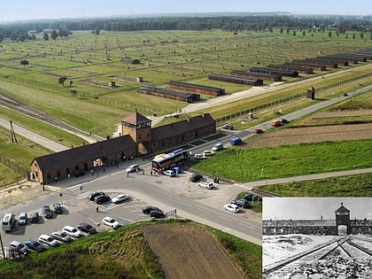
Nearby attractions include: Auschwitz-Birkenau State Museum, International Monument to the Victims of Fascism, Theresienstadt family camp, Auschwitz II concentration camp.
Frequently Asked Questions (FAQ)
Which popular attractions are close to Oświęcim Basin?
Nearby attractions include International Monument to the Victims of Fascism, Auschwitz-Birkenau (4 min walk), Auschwitz-Birkenau State Museum, Auschwitz-Birkenau (12 min walk), Auschwitz II concentration camp, Auschwitz-Birkenau (13 min walk), Theresienstadt family camp, Auschwitz-Birkenau (14 min walk).
How to get to Oświęcim Basin by public transport?
The nearest stations to Oświęcim Basin:
Bus
Bus
- Jedlina Park • Lines: 274 (38 min walk)


