Łuknajno Lake
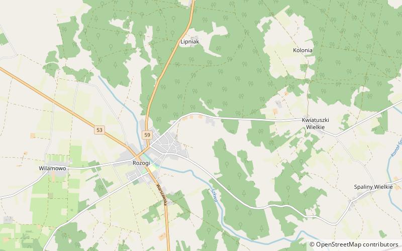
Map

Map

Facts and practical information
Łuknajno is a lake in the Masurian Lake District of north-eastern Poland, in Warmian-Masurian Voivodeship. It lies approximately 5 kilometres east of the town of Mikołajki, close to the north-western corner of Poland's largest lake called Śniardwy. Łuknajno covers an area of 6.8 square kilometres, and has a maximum depth of 3 metres. ()
Local name: Łuknajno Area: 2.63 mi²Length: 2.05 miMaximum depth: 10 ftElevation: 413 ft a.s.l.Coordinates: 53°29'24"N, 21°22'48"E
Location
Warmian-Masurian
ContactAdd
Social media
Add
