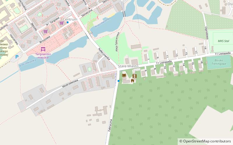
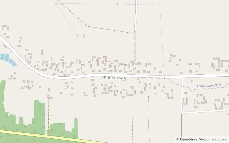
Poniatowa

Gallery (1)
Map
Map
Facts and practical information
Poniatowa is a town in southeastern Poland, in Opole Lubelskie County, in Lublin Voivodship, with 10,500 inhabitants. It belongs to the historic province of Lesser Poland. During the existence of the 17th-century Polish–Lithuanian Commonwealth Poniatowa was part of the Lublin Voivodeship also. For most of its history Poniatowa was a village; it did not receive town charter until July 18, 1962. The town has a sports club Stal, established in 1951. ()
Day trips