Tokarnia Mountain

Gallery (1)
Map
Map
Facts and practical information
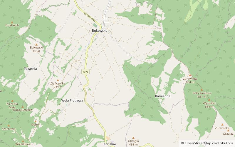
Takarnia is a peak in the Bukowica Range in southern Poland. Its height is 778 meters. The southern part is a steep rocky wall, while the other side consist of less steep rocky fields. The Bukowica Range separating the west Low Beskids from the east Pogórze Bukowskie. ()
Location
Subcarpathian
ContactAdd
Social media
Add
Day trips


