Park Zamkowy, Racibórz
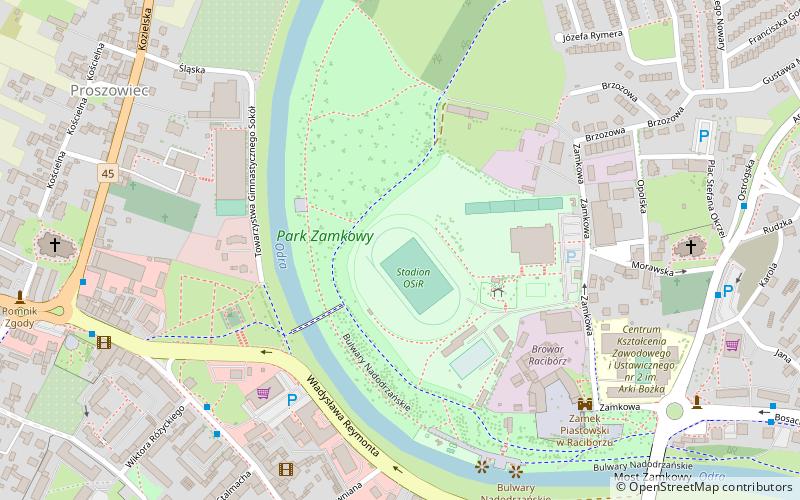
Map

Gallery

Facts and practical information
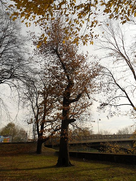
Castle Park - a park in Racibórz, located in the city center, on the right bank of the Oder River, in the Ostróg district. It surrounds the Racibórz castle and the OSiR stadium. It contains the Silesian Insurgents' Monument, unveiled in 1958, on the spot where the Germans buried the participants of the Third Silesian Uprising.
Elevation: 604 ft a.s.l.Coordinates: 50°5'53"N, 18°13'2"E
Address
Racibórz
ContactAdd
Social media
Add
Day trips
Park Zamkowy – popular in the area (distance from the attraction)
Nearby attractions include: Zamek Piastowski w Raciborzu, Muzeum, Kościół par. pw. Wniebowzięcia Najświętszej Maryi Panny, Kościół św. Jakuba.
Frequently Asked Questions (FAQ)
Which popular attractions are close to Park Zamkowy?
Nearby attractions include Browar Racibórz, Racibórz (5 min walk), Zamek Piastowski w Raciborzu, Racibórz (6 min walk), Przystań Racibórz - 697, Racibórz (6 min walk), Kościół pw. św. Jana Chrzciciela, Racibórz (7 min walk).
How to get to Park Zamkowy by public transport?
The nearest stations to Park Zamkowy:
Bus
Train
Bus
- PKS Racibórz (15 min walk)
Train
- Racibórz (18 min walk)


