Krzyż nawigacyjny, Łeba

Gallery (1)
Map
Map
Facts and practical information
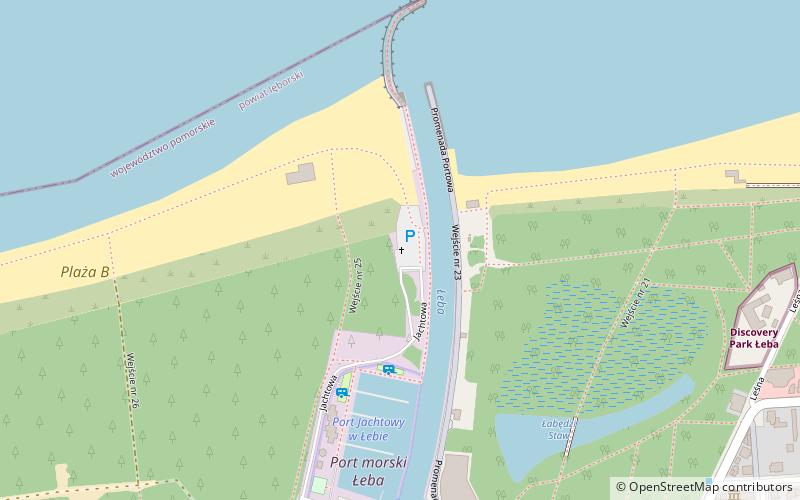
Krzyż nawigacyjny is a place located in Łeba (Pomeranian voivodeship) and belongs to the category of wayside shrine.
It is situated at an altitude of 10 feet, and its geographical coordinates are 54°46'1"N latitude and 17°33'1"E longitude.
Planning a visit to this place, one can easily and conveniently get there by public transportation. Krzyż nawigacyjny is a short distance from the following public transport stations: Łeba (train, 20 min walk).
Among other places and attractions worth visiting in the area are: Port Jachtowy w Łebie (sailing, 5 min walk), Plaża A (beach, 9 min walk), Plaża B (beach, 10 min walk).
Coordinates: 54°46'1"N, 17°33'1"E
Address
Łeba
ContactAdd
Social media
Add
Getting there by public transportation
Public transportation stops near this location
- Train
 Train
Train
- Calculate routeŁeba 20 min walk
Day trips


Frequently Asked Questions (FAQ)
Which popular attractions are close to Krzyż nawigacyjny?
Nearby attractions include Port Jachtowy w Łebie, Łeba (5 min walk), Plaża A, Łeba (9 min walk), Plaża B, Łeba (10 min walk), Labirynt Park Łeba, Łeba (23 min walk).
How to get to Krzyż nawigacyjny by public transport?
The nearest stations to Krzyż nawigacyjny:
Train
Train
- Łeba (20 min walk)