Wirek, Ruda Śląska

Gallery (3)
Map

Map
Gallery
Facts and practical information
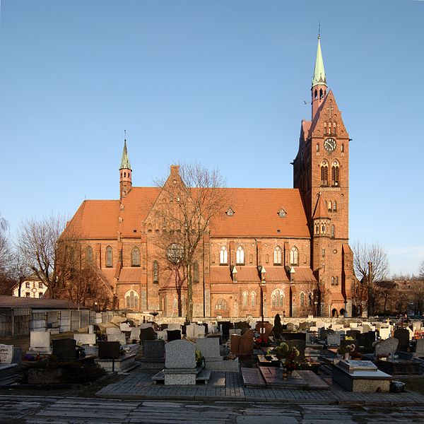
Wirek is a district in the centre of Ruda Śląska, Silesian Voivodeship, southern Poland. In 2006 it had an area of 5.9 km2 and was inhabited by 20,595 people. On January 12, 2006 a part of it was split off to form a new district, Czarny Las. ()
Address
Ruda Śląska
ContactAdd
Social media
Add
Getting there by public transportation
Public transportation stops near this location
- Bus
- Tram
 Bus
Bus
- Calculate routeWirek Stadion 3 min walk
- Calculate routeWirek Kościół 5 min walk
- Calculate routeWirek Odrodzenia 9 min walk
- Calculate routeWirek Kopalnia Pokój 9 min walk
- Calculate routeWirek Odrodzenia 10 min walk
- Calculate routeWirek Katowicka 20 min walk
- Calculate routeNowy Bytom Grochowska 21 min walk
Day trips


Frequently Asked Questions (FAQ)
Which popular attractions are close to Wirek?
Nearby attractions include Kościół Ewangelicko-Augsburski im. Odkupiciela, Ruda Śląska (4 min walk), Kościół św. Wawrzyńca i św. Antoniego, Ruda Śląska (7 min walk).
How to get to Wirek by public transport?
The nearest stations to Wirek:
Bus
Tram
Bus
- Wirek Stadion • Lines: 146, 155, 255 (3 min walk)
- Wirek Kościół • Lines: 230, 7, 7N (5 min walk)
Tram
- Wirek Kopalnia Pokój • Lines: T17, T9 (9 min walk)
- Wirek Odrodzenia • Lines: T17, T9 (10 min walk)