Ujście Warty National Park

Gallery (4)
Map

Map
Gallery
Facts and practical information
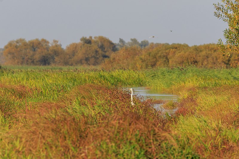
The Warta Mouth National Park is the youngest of Poland's 23 National Parks. It was created on June 19, 2001, in the region of the lowest stretch of the Warta river, up to its confluence with the Odra, which marks the Polish–German border. The Park covers an area of 80.38 square kilometres within Lubusz Voivodeship. ()
Day trips


