Kościół pw. św. Rocha, Rzeszów
Map

Map

Facts and practical information
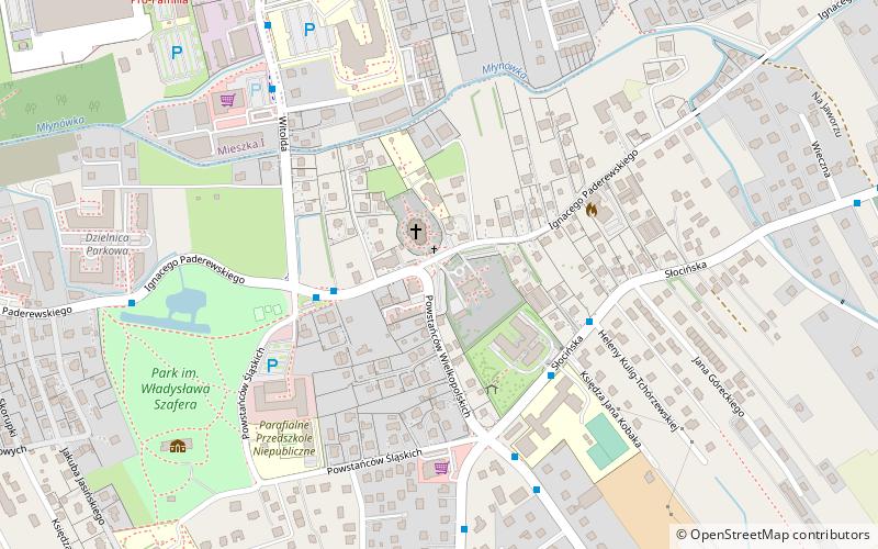
The Church of Saints Roch and Martin is located in Słocina, a district in the east of Rzeszów.
Coordinates: 50°1'37"N, 22°2'43"E
Day trips
Kościół pw. św. Rocha – popular in the area (distance from the attraction)
Nearby attractions include: Jewish cemetery, University of Rzeszów, Cmentarz Pobitno, Church of the Sacred Heart.
Frequently Asked Questions (FAQ)
How to get to Kościół pw. św. Rocha by public transport?
The nearest stations to Kościół pw. św. Rocha:
Bus
Bus
- Konf. Barskich / Traugutta • Lines: 1 (32 min walk)


