Trek Zone

Urząd Gminy Tworóg

#1194 among destinations in Poland

City hall
Urząd Gminy Tworóg

Facts and practical information

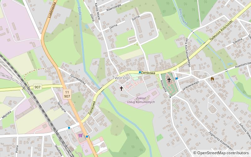
Urząd Gminy Tworóg (address: 16 Zamkowa) is a place located in Poland and belongs to the category of city hall.

It is situated at an altitude of 823 feet, and its geographical coordinates are 50°31'55"N latitude and 18°43'9"E longitude.

Among other places and attractions worth visiting in the area are: Pałac Donnersmarcków (forts and castles, 37 min walk), Jewish Cemetery (cemetery, 109 min walk), Pałac w Rybnej (forts and castles, 142 min walk).

Coordinates: 50°31'55"N, 18°43'9"E
Location

16 ZamkowaSilesianPoland

Contact
Social media
Add

Urząd Gminy Tworóg plan & book

Unleash the traveler in you — discover the cheapest flight deals, find the perfect hotel or hostel nearby, and search for the best car rental prices. Travel at your own pace to discover new places and enjoy your journey.

Day trips

Urząd Gminy Tworóg – popular in the area (distance from the attraction)

Nearby attractions include: Pałac Donnersmarcków, Centrum Handlowe Tarnowskie Góry, Pałac w Rybnej, Jewish Cemetery.

  • palac donnersmarckow1.4 miSE
  • centrum handlowe tarnowskie gory7.5 miSE
  • palac w rybnej5.6 miSE
  • jewish cemetery4.3 miSW

Where to next? Visit silesian Silesian region page or discover the top tourist attractions in Poland.