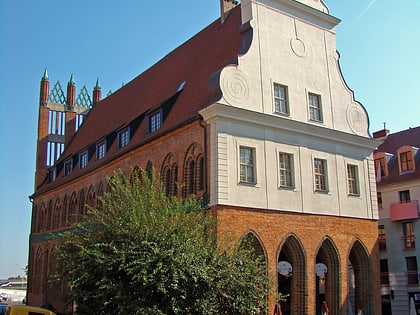
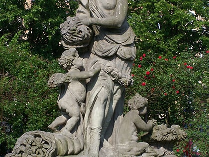
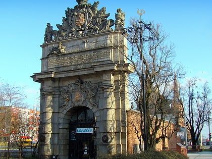
Nowe Miasto, Szczecin
Map
Map

Facts and practical information
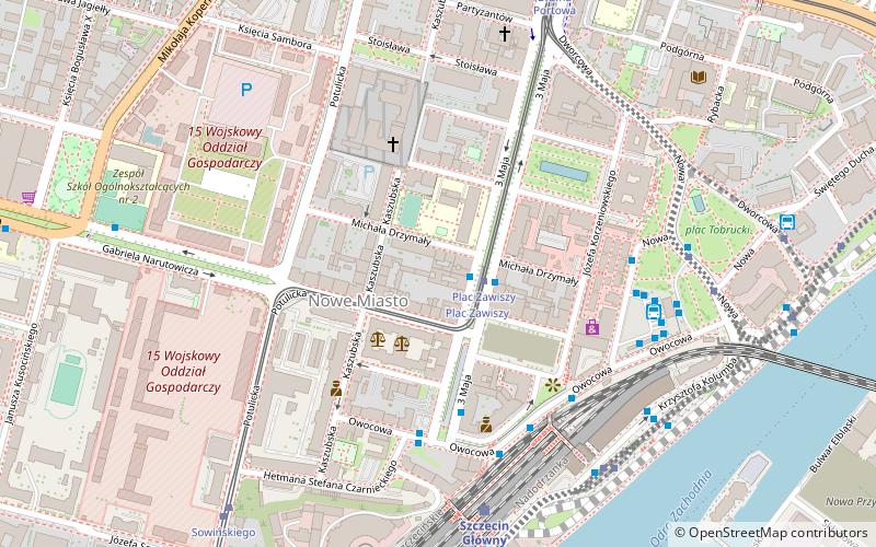
Nowe Miasto is a municipal neighbourhood of the city of Szczecin, Poland, situated on the left bank of Oder river, in Śródmieście District. It borders Turzyn to the west, Śródmieście-Zachód, Centrum and Stare Miasto to the north, Międzyodrze-Wyspa Pucka to the east, and Pomorzany to the south. As of January 2011 it had a population of 8092. ()
Address
Dzielnica Śródmieście (Nowe Miasto)Szczecin
ContactAdd
Social media
Add
Day trips
Nowe Miasto – popular in the area (distance from the attraction)
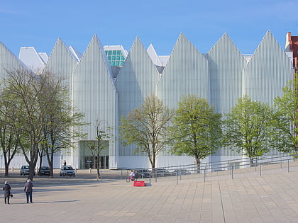
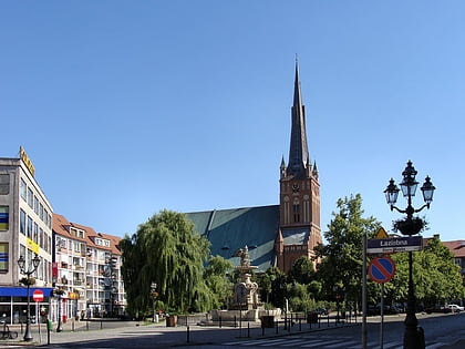
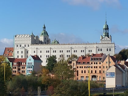
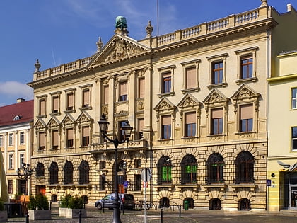
Nearby attractions include: Szczecin Philharmonic, Szczecin Cathedral, Ducal Castle, Art Academy of Szczecin.
Frequently Asked Questions (FAQ)
Which popular attractions are close to Nowe Miasto?
Nearby attractions include Fontanna Manzla, Szczecin (6 min walk), plac Tobrucki, Szczecin (6 min walk), Książnica Pomorska, Szczecin (7 min walk), Pomeranian Medical University in Szczecin, Szczecin (8 min walk).
How to get to Nowe Miasto by public transport?
The nearest stations to Nowe Miasto:
Bus
Tram
Train
Bus
- Plac Zawiszy • Lines: 521, 527, 528, 529, 61, 70, 75, 806, 87, 90 (1 min walk)
- Dworzec Główny • Lines: 521, 527, 528, 529, 61, 70, 75, 806, 87, 90 (4 min walk)
Tram
- Plac Zawiszy • Lines: 10, 9 (1 min walk)
- Sowińskiego • Lines: 10, 9 (7 min walk)
Train
- Szczecin Główny (5 min walk)
- Szczecin Port Centralny (24 min walk)

