Lake Rożnów
Map

Map

Facts and practical information
Lake Rożnow is an artificial lake, built in 1935–1941. It is located in southernmost part of Poland. The lake was built in the interwar period to regulate the Dunajec river flowing through the foothills of Beskid Mountains; and also, to provide electricity for the Rożnow Power Plant built into the dam. The lake took two years to fill which took place during World War II, from mid 1941 until 1943. It was named after the village of Rożnow. ()
Local name: Jezioro Rożnowskie Maximum depth: 98 ftElevation: 981 ft a.s.l.Coordinates: 49°44'3"N, 20°41'25"E
Location
Lesser Poland
ContactAdd
Social media
Add
Day trips
Lake Rożnów – popular in the area (distance from the attraction)
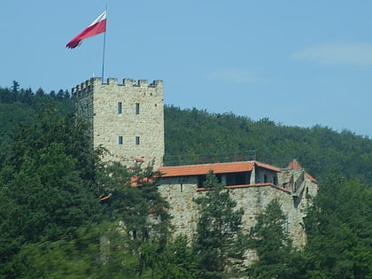
Nearby attractions include: Zamek Tropsztyn.

