Warsaw Old Town, Warsaw
Map
Gallery
Facts and practical information
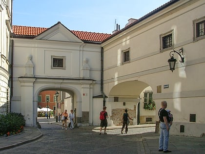
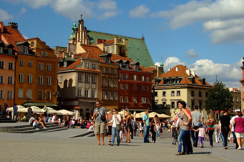
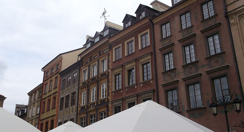
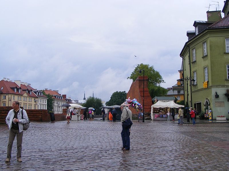
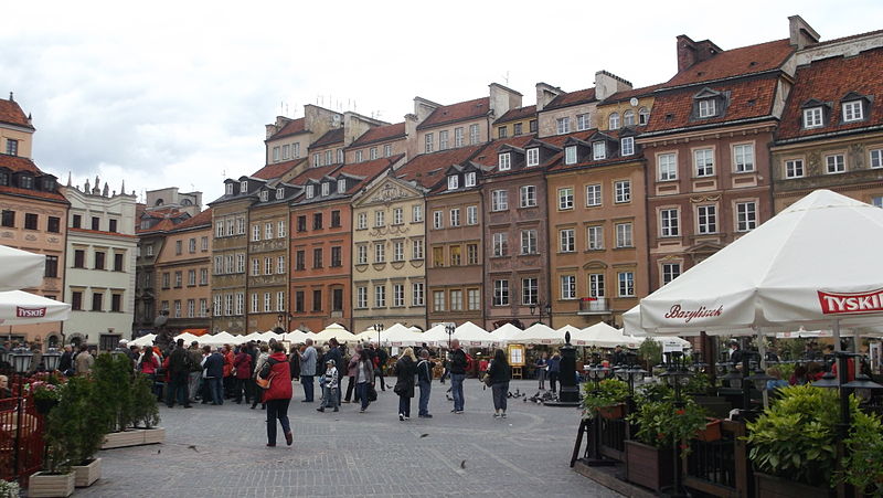
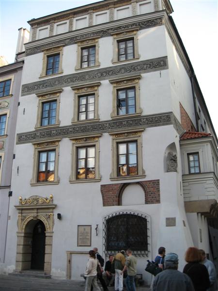
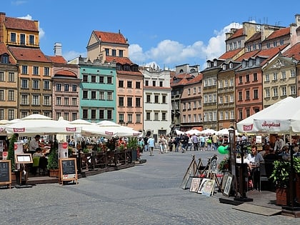
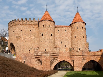
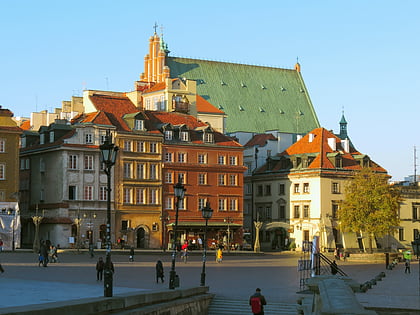
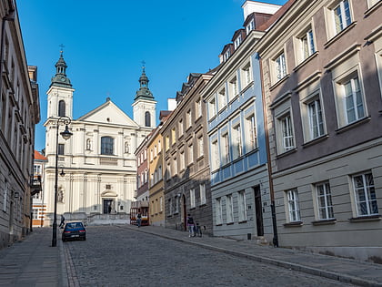
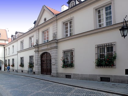
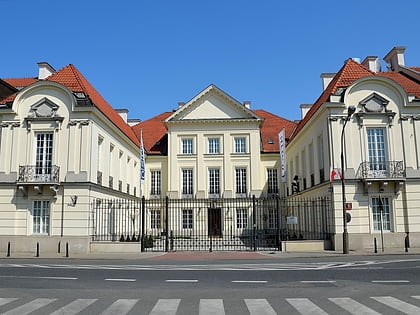
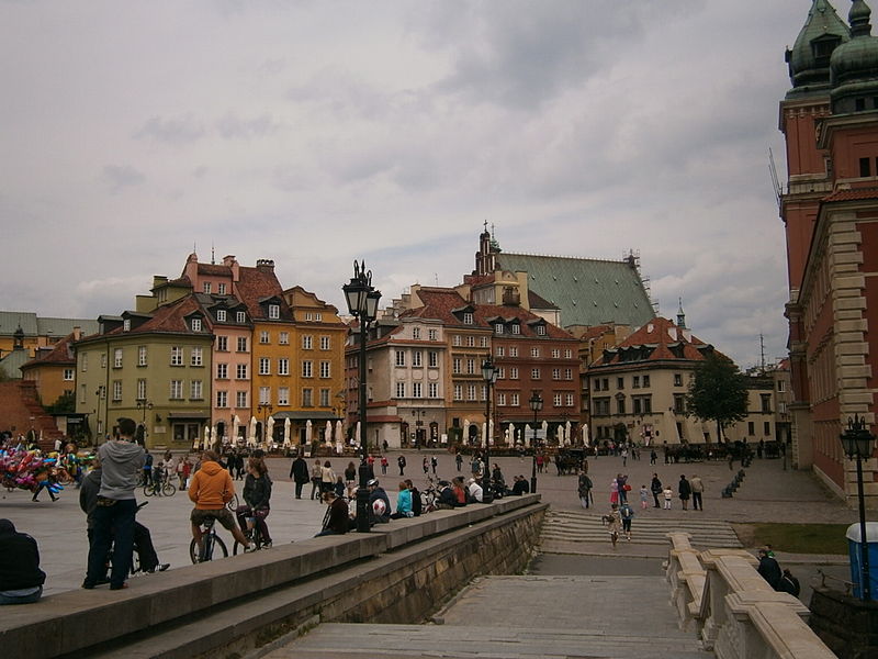
Warsaw Old Town is the oldest part of Warsaw, the capital city of Poland. It is bounded by the Wybrzeże Gdańskie, along with the bank of the Vistula river, Grodzka, Mostowa and Podwale Streets. It is one of the most prominent tourist attractions in Warsaw. The heart of the area is the Old Town Market Place, rich in restaurants, cafés and shops. Surrounding streets feature medieval architecture such as the city walls, St. John's Cathedral and the Barbican which links the Old Town with Warsaw New Town. ()
Local name: Stare Miasto w Warszawie Unesco: from 1980Area: 2.57 mi²Coordinates: 52°14'59"N, 21°0'44"E
Address
Śródmieścia (Stare Miasto)Warsaw
ContactAdd
Social media
Add
Day trips
Warsaw Old Town – popular in the area (distance from the attraction)
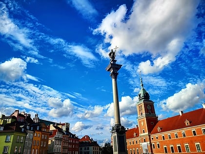
Nearby attractions include: Royal Castle, Sigismund's Column, Old Town, Warsaw Barbican.
Frequently Asked Questions (FAQ)
Which popular attractions are close to Warsaw Old Town?
Nearby attractions include Old Town, Warsaw (1 min walk), Muzeum Literatury im. Adama Mickiewicza, Warsaw (1 min walk), Muzeum Warszawy, Warsaw (1 min walk), Muzeum Farmacji, Warsaw (2 min walk).
How to get to Warsaw Old Town by public transport?
The nearest stations to Warsaw Old Town:
Bus
Tram
Metro
Train
Bus
- Boleść 01 • Lines: 118, 185 (5 min walk)
- Podzamcze 02 • Lines: 118, 185 (6 min walk)
Tram
- Stare Miasto 02 • Lines: 13, 20, 23, 26, 4 (7 min walk)
- Metro Ratusz Arsenał 10 • Lines: 13, 20, 23, 26, 4 (15 min walk)
Metro
- Ratusz Arsenał • Lines: M1 (15 min walk)
- Nowy Świat-Uniwersytet • Lines: M2 (24 min walk)
Train
- Warszawa Zoo (25 min walk)
- Warszawa Gdańska (28 min walk)
