Diabelska Skała, Szczytna
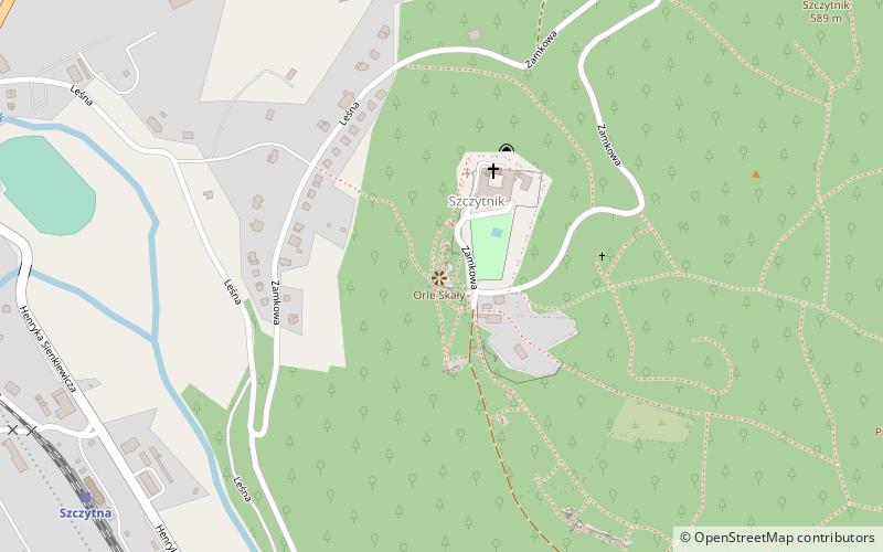
Map

Map

Facts and practical information
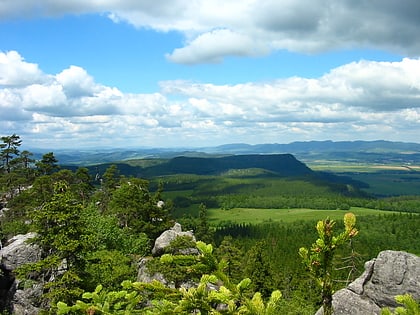
Diabelska Skała is a place located in Szczytna (Lower Silesian voivodeship) and belongs to the category of climbing.
It is situated at an altitude of 1818 feet, and its geographical coordinates are 50°24'40"N latitude and 16°27'24"E longitude.
Among other places and attractions worth visiting in the area are: Leśna Skała (forts and castles, 3 min walk), Park Zdrojowy, Polanica-Zdrój (park, 60 min walk), Kaplica pw. Świętej Trójcy na Górze Rozalii, Duszniki-Zdrój (church, 68 min walk).
Coordinates: 50°24'40"N, 16°27'24"E
Address
Szczytna
ContactAdd
Social media
Add
Day trips
Diabelska Skała – popular in the area (distance from the attraction)
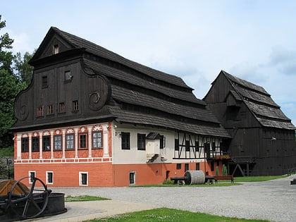
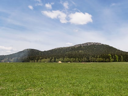
Nearby attractions include: Muzeum Papiernictwa, Basilica of the Visitation, Lordship of Hummel, Schronisko PTTK "Na Szczelińcu".


