Ruina kościoła cmentarnego pw. św. Wacława

Gallery (1)
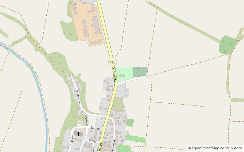
Map
Map
Facts and practical information
Ruina kościoła cmentarnego pw. św. Wacława is a place located in Poland and belongs to the category of church.
It is situated at an altitude of 837 feet, and its geographical coordinates are 50°5'50"N latitude and 17°55'53"E longitude.
Among other places and attractions worth visiting in the area are: Ruiny kościoła cmentarnego pw. św. Mikołaja (ruins, 105 min walk).
Coordinates: 50°5'50"N, 17°55'53"E
Location
Opole
ContactAdd
Social media
Add
Day trips
Ruina kościoła cmentarnego pw. św. Wacława – popular in the area (distance from the attraction)
Nearby attractions include: Ruiny kościoła cmentarnego pw. św. Mikołaja.
