Warta Landscape Park

Gallery (1)
Map
Map
Facts and practical information
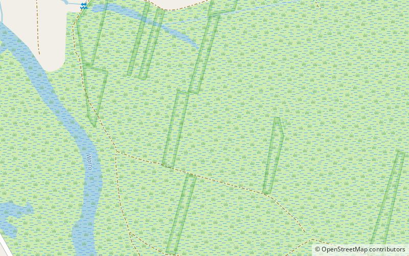
Warta Landscape Park is a protected area in west-central Poland, established in 1995, covering an area of 134.28 square kilometres along a stretch of the Warta river west of Konin. ()
Local name: Nadwarciański Park Krajobrazowy Established: 1995 (31 years ago)Area: 51.85 mi²Elevation: 236 ft a.s.l.Coordinates: 52°12'0"N, 17°54'0"E
Location
Greater Poland
ContactAdd
Social media
Add
Day trips


