Osiedle Piasta II, Białystok
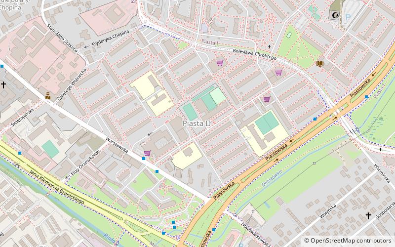
Map
Facts and practical information
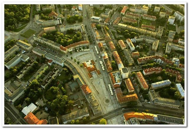
Osiedle Piasta II is one of the districts of the Polish city of Białystok. Named after the royal Piast dynasty. ()
Address
Piasta IIBiałystok
ContactAdd
Social media
Add
Getting there by public transportation
Public transportation stops near this location
- Bus
- Train
 Bus
Bus
- Calculate routeWarszawska/Piastowska 3 min walk
- Calculate routePiastowska/Pętla 5 min walk
- Calculate routePiastowska/Nowowarszawska 5 min walk
- Calculate routeJana Klemensa Branickiego/Piastowska 6 min walk
- Calculate routeBiałystok Fabryczny 21 min walk
Day trips


Frequently Asked Questions (FAQ)
Which popular attractions are close to Osiedle Piasta II?
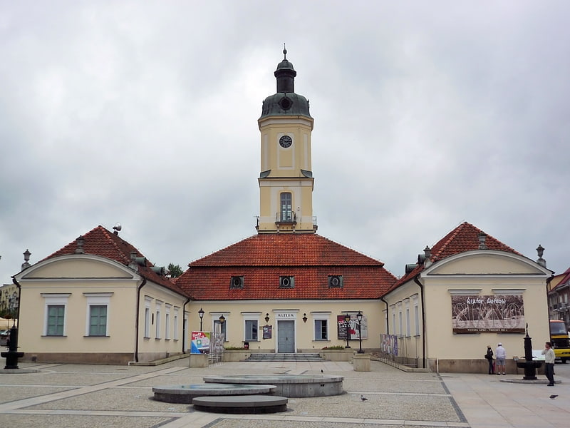
Nearby attractions include Młodzieżowy Dom Kultury, Białystok (1 min walk), Archiwum i Muzeum Archidiecezjalne, Białystok (9 min walk), Muzeum Historyczne, Białystok (13 min walk), Osiedle Piasta I, Białystok (14 min walk).
How to get to Osiedle Piasta II by public transport?
The nearest stations to Osiedle Piasta II:
Bus
Train
Bus
- Warszawska/Piastowska • Lines: 2, 8 (3 min walk)
- Piastowska/Pętla • Lines: 113 (5 min walk)
Train
- Białystok Fabryczny (21 min walk)