Vistulan Boulevards, Kraków
Map

Gallery

Facts and practical information
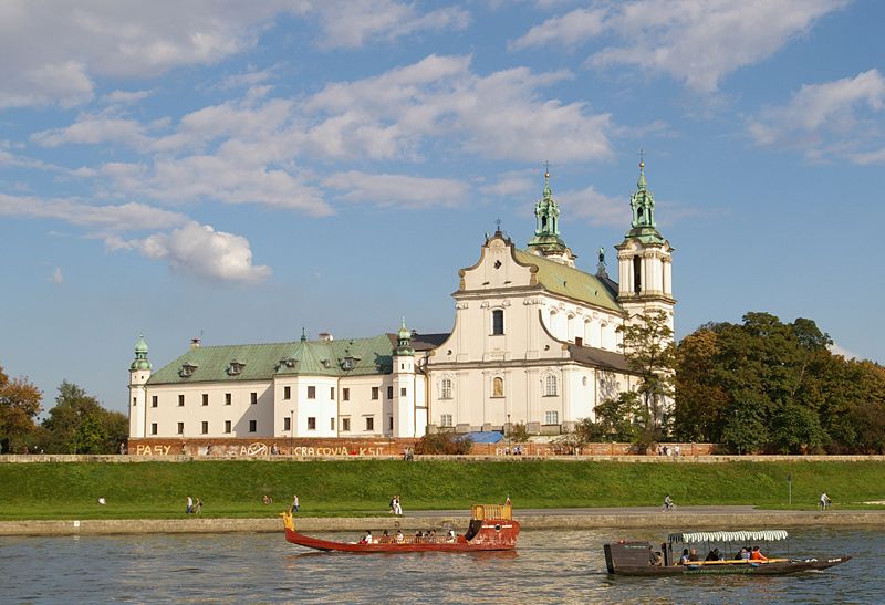
The Vistulan Boulevards are historical hydraulic boulevards used for flood management in Kraków, Poland. The boulevards are structured from retaining walls, allowing the boulevards to perform a river port function. The nineteenth- and twentieth-century boulevards are used for flood management, namely during the floods of 1970, 1997, and 2010. ()
Address
Stare Miasto (Nowy Świat)Kraków
ContactAdd
Social media
Add
Day trips
Vistulan Boulevards – popular in the area (distance from the attraction)
Nearby attractions include: Wawel Castle, Wawel, Wawel Cathedral, Saints Peter and Paul Church.
Frequently Asked Questions (FAQ)
Which popular attractions are close to Vistulan Boulevards?
Nearby attractions include Smok Wawelski, Kraków (2 min walk), Smocza Jama, Kraków (2 min walk), Sandomierska Tower, Kraków (3 min walk), Manggha, Kraków (3 min walk).
How to get to Vistulan Boulevards by public transport?
The nearest stations to Vistulan Boulevards:
Bus
Tram
Train
Bus
- Rondo Grunwaldzkie • Lines: 112, 162, Bus Michalus (6 min walk)
- Bałuckiego • Lines: 112, 162 (10 min walk)
Tram
- Orzeszkowej • Lines: 12, 18, 22, 52, 62 (7 min walk)
- Rondo Grunwaldzkie • Lines: 12, 18, 22, 52, 62 (7 min walk)
Train
- Kraków Zabłocie (29 min walk)
- Krakow Main Station (34 min walk)


