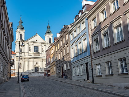
Franciszkańska Street, Warsaw
Map

Map

Facts and practical information
Franciszkańska is a street in the centre of Warsaw, linking the New Town with Nalewki street. In the 19th century it was inhabited primarily by Jews, who converted the street into a large open-air marketplace. The name itself was derived from the Church of Saint Francis owned by the Franciscans. ()
Address
Śródmieścia (Nowe Miasto)Warsaw
ContactAdd
Social media
Add
Day trips
Franciszkańska Street – popular in the area (distance from the attraction)
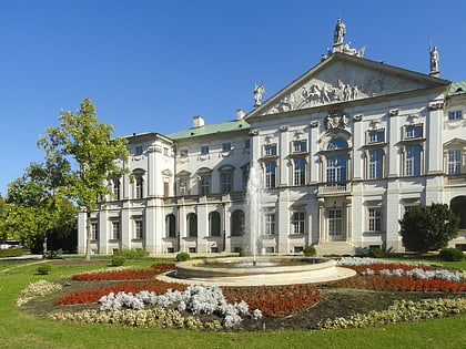
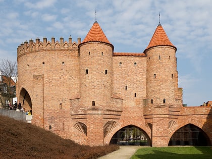
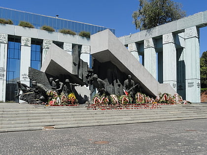
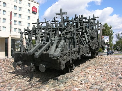
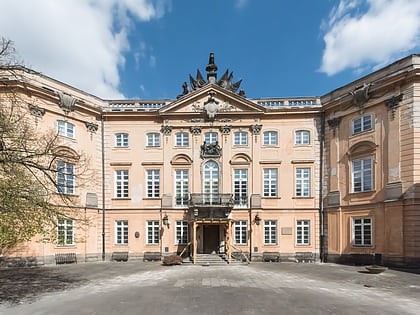
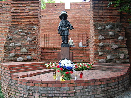
Nearby attractions include: Krasiński Palace, Warsaw Barbican, Warsaw Uprising Monument, Maria Skłodowska-Curie Museum.
Frequently Asked Questions (FAQ)
Which popular attractions are close to Franciszkańska Street?
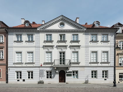
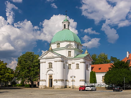
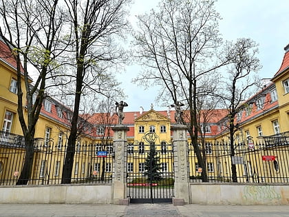
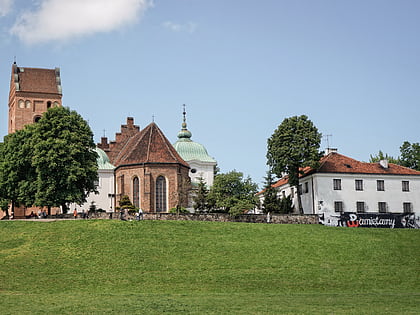
Nearby attractions include Muzeum Adwokatury Polskiej, Warsaw (4 min walk), Bonifraterska Street, Warsaw (4 min walk), Church of John of God, Warsaw (4 min walk), Church of St Francis in Warsaw, Warsaw (5 min walk).
How to get to Franciszkańska Street by public transport?
The nearest stations to Franciszkańska Street:
Bus
Tram
Metro
Train
Bus
- Franciszkańska 02 • Lines: 116, 178, N44 (2 min walk)
- Świętojerska 02 • Lines: 180 (4 min walk)
Tram
- Muranowska 08 • Lines: 15, 18, 35 (6 min walk)
- Muranów 05 • Lines: 15, 18, 35 (7 min walk)
Metro
- Ratusz Arsenał • Lines: M1 (13 min walk)
- Dworzec Gdański • Lines: M1 (14 min walk)
Train
- Warszawa Gdańska (18 min walk)
- Warszawa Zoo (26 min walk)

