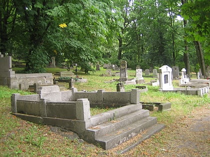
Cmentarz parafii św. Wojciecha, Poznań
Map
Map

Facts and practical information
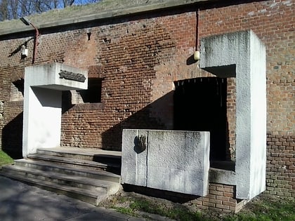
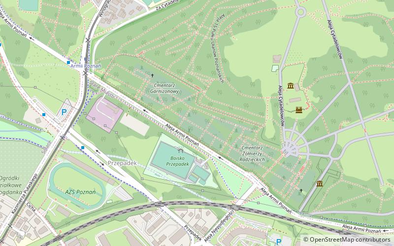
St. Adalbert Parish Cemetery in Poznań - a historic cemetery located on the southern slopes of Fort Winiary, the second oldest cemetery in Poznań.
Coordinates: 52°25'11"N, 16°55'42"E
Address
Stare Miasto (Stare Winogrady)Poznań
ContactAdd
Social media
Add
Day trips
Cmentarz parafii św. Wojciecha – popular in the area (distance from the attraction)
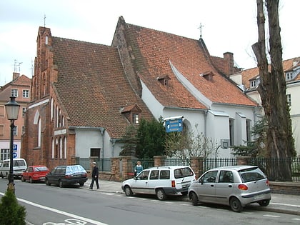
Nearby attractions include: Museum of Applied Arts, Citadel Park, Fort Winiary, Church of St. Adalbert.
Frequently Asked Questions (FAQ)
Which popular attractions are close to Cmentarz parafii św. Wojciecha?
Nearby attractions include Cmentarz Wojenny Żołnierzy Brytyjskich, Poznań (3 min walk), Pomnik jeńców francuskich, Poznań (4 min walk), Monument to heroes, Poznań (5 min walk), Muzeum Uzbrojenia, Poznań (5 min walk).
How to get to Cmentarz parafii św. Wojciecha by public transport?
The nearest stations to Cmentarz parafii św. Wojciecha:
Bus
Tram
Light rail
Bus
- Przepadek n/ż • Lines: 168, 169, 171, 215 (6 min walk)
- Armii Poznań n/ż • Lines: 168, 169, 171, 215, 218 (7 min walk)
Tram
- Armii Poznań • Lines: 10, 3 (6 min walk)
- Żniwna • Lines: 10, 3 (9 min walk)
Light rail
- Poznań Garbary • Lines: Pkm2, Pkm3 (11 min walk)
