Gaładuś Lake
Map

Map

Facts and practical information
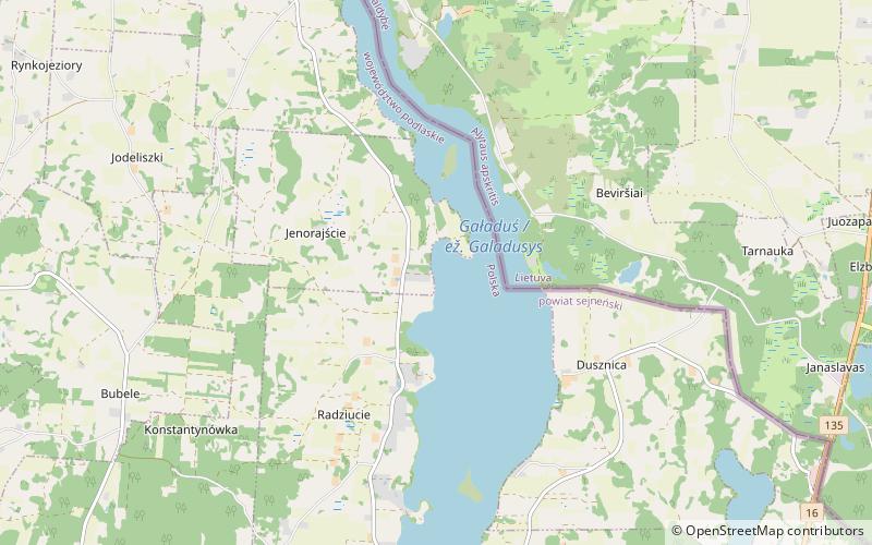
Gaładuś is a ribbon lake located in the Suwałki Region, where it is the second largest lake by area. The lake is located in the north-east of Poland and the south of Lithuania. The lake is located in the Gmina Sejny, Podlaskie Voivodeship in Poland, and in the region of Lazdijai in Lithuania. The lake has high and non-forested banks. The lake and its catchment area is found in the drainage basin of the Neman, in the watershed of the Biała Hańcza. ()
Local name: Gaładuś Area: 2.81 mi²Length: 6.59 miWidth: 4921 ftMaximum depth: 180 ftElevation: 436 ft a.s.l.Coordinates: 54°10'44"N, 23°24'48"E
Location
Podlasie
ContactAdd
Social media
Add
Day trips
Gaładuś Lake – popular in the area (distance from the attraction)
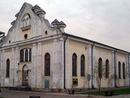
Nearby attractions include: Sejny Synagogue, Kościól pw. Nawiedzenia Najświętszej Maryi Panny.


