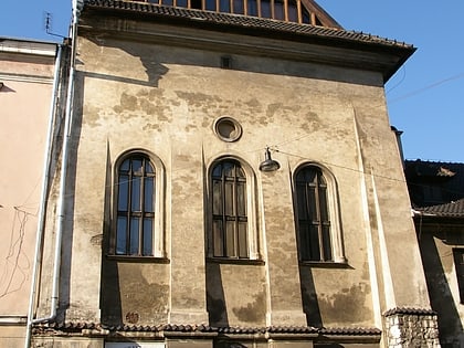
Cmentarz Podgórski, Kraków
Map
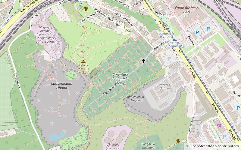
Map

Facts and practical information
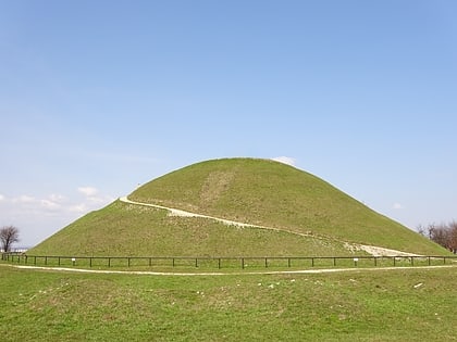
Podgórski Cemetery - Kraków's municipal cemetery, located in Podgórze at the foot of Krakus Mound, at 13 Wapienna Street.
Coordinates: 50°2'13"N, 19°57'40"E
Address
Podgórze (Kopiec Krakusa)Kraków
ContactAdd
Social media
Add
Day trips
Cmentarz Podgórski – popular in the area (distance from the attraction)
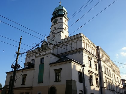
Nearby attractions include: Oskar Schindler's Enamel Factory, Galicia Jewish Museum, Galeria Kazimierz, Krakus Mound.
Frequently Asked Questions (FAQ)
Which popular attractions are close to Cmentarz Podgórski?
Nearby attractions include Krakus Mound, Kraków (4 min walk), Podgórski cmentarz żydowski stary, Kraków (7 min walk), Cmentarz Podgórski, Kraków (9 min walk), Fort 31 "Święty Benedykt", Kraków (11 min walk).
How to get to Cmentarz Podgórski by public transport?
The nearest stations to Cmentarz Podgórski:
Tram
Train
Bus
Tram
- Cmentarz Podgórski • Lines: 11, 13, 24, 3, 6, 69 (6 min walk)
- Podgórze SKA • Lines: 11, 13, 24, 3, 6, 69 (10 min walk)
Train
- Kraków Podgórze (8 min walk)
- Kraków Płaszów (17 min walk)
Bus
- Podgórze SKA • Lines: 174, 178 (10 min walk)
- Dworcowa • Lines: 143, 274, 301, 643 (13 min walk)


