Parkowa
Map

Map

Facts and practical information
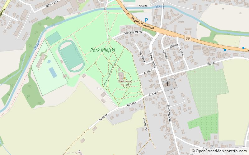
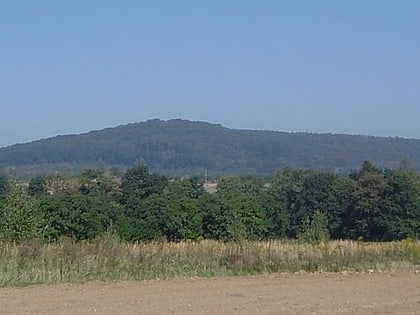
Parkowa - a hill in southwestern Poland, in the Strzelińskie Hills, in the Sudeten Foreland.
Until 1945 the German name of the hill Marien-Berg was used. In 1954 the Polish name Parkowa was officially established.
Coordinates: 50°46'31"N, 17°4'12"E
Location
Lower Silesian
ContactAdd
Social media
Add
Day trips
Parkowa – popular in the area (distance from the attraction)
Nearby attractions include: St. Godehard's Rotunda, Kościół Matki Chrystusa i św. Jana Apostoła i Ewangelisty, Gromnik, Szańcowa.


