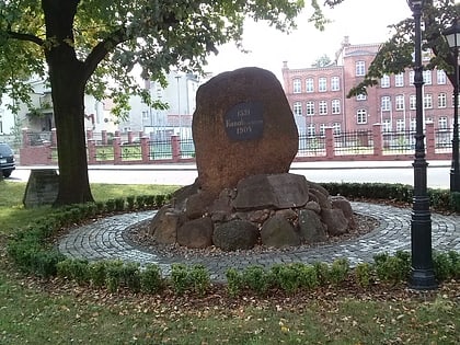
Głaz Polskiego Czerwonego Krzyża, Bolesławiec


Facts and practical information
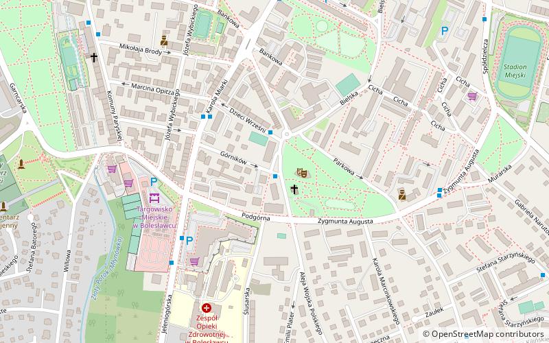
Głaz Polskiego Czerwonego Krzyża is a place located in Bolesławiec (Lower Silesian voivodeship) and belongs to the category of memorial.
It is situated at an altitude of 666 feet, and its geographical coordinates are 51°15'26"N latitude and 15°34'10"E longitude.
Planning a visit to this place, one can easily and conveniently get there by public transportation. Głaz Polskiego Czerwonego Krzyża is a short distance from the following public transport stations: Górników (bus, 1 min walk), Bolesławiec (train, 16 min walk).
Among other places and attractions worth visiting in the area are: Pomnik Pionierów Polskiej Miedzi (memorial, 5 min walk), Memorial stone for the construction of the sewerage system in Bolesławiec (memorial, 6 min walk), Buk Pospolity Forma Czerwonolistna (tree, 8 min walk).
Bolesławiec
Głaz Polskiego Czerwonego Krzyża – popular in the area (distance from the attraction)
Nearby attractions include: Bolesławiec rail viaduct, Termy Bolesławiec, Memorial stone for the construction of the sewerage system in Bolesławiec, Park przy Muzeum Ceramiki.
Frequently Asked Questions (FAQ)
Which popular attractions are close to Głaz Polskiego Czerwonego Krzyża?
How to get to Głaz Polskiego Czerwonego Krzyża by public transport?
Bus
- Górników • Lines: 10, 2 bis, 5 (1 min walk)
- Dzieci Wrześni • Lines: 10 (2 min walk)
Train
- Bolesławiec (16 min walk)


