Grafenort concentration camp

Gallery (1)
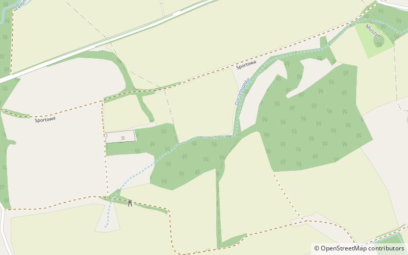
Map
Map
Facts and practical information
The Grafenort concentration camp—as treated in the present article—is a conventional name for three separate Nazi concentration camps that functioned in the village of Grafenort on the territory of Nazi Germany during the Second World War. ()
Coordinates: 50°21'3"N, 16°37'0"E
Day trips


