Maria Skłodowska-Curie Bridge, Warsaw
Map
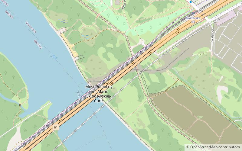
Map

Facts and practical information
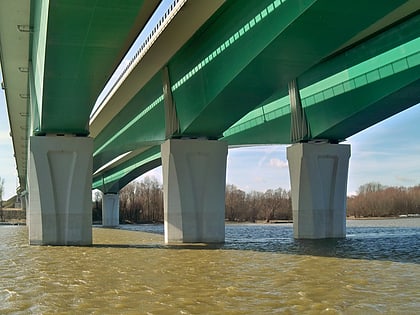
The Maria Skłodowska-Curie Bridge is a bridge over the Vistula River in Warsaw, Poland, linking the northern suburbs of Białołęka and Bielany. The structure actually consists of three parallel bridges, two for motor vehicles and one for light rail, bicycles and pedestrians. The first two parts were opened on March 24, 2012 making it the eighth road bridge in the capital of Poland, and it is now complete with the first tram line launched 21 January 2013. ()
Day trips
Maria Skłodowska-Curie Bridge – popular in the area (distance from the attraction)
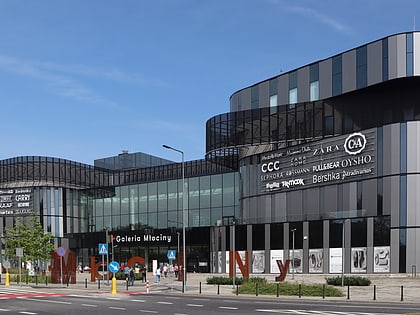
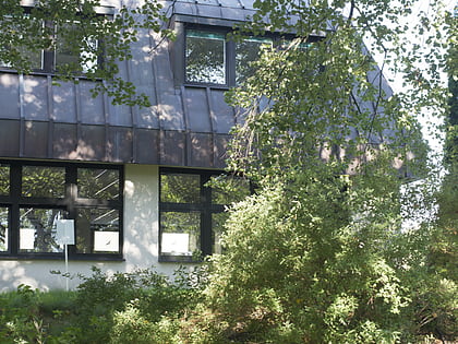
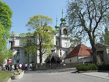
Nearby attractions include: Galeria Młociny, Main Library of Cardinal Stefan Wyszynski University, Camaldolese Church, Cardinal Stefan Wyszyński University.
Frequently Asked Questions (FAQ)
Which popular attractions are close to Maria Skłodowska-Curie Bridge?
Nearby attractions include Tarchomin, Warsaw (21 min walk), Camaldolese Church, Warsaw (23 min walk), Cardinal Stefan Wyszyński University, Warsaw (24 min walk).
How to get to Maria Skłodowska-Curie Bridge by public transport?
The nearest stations to Maria Skłodowska-Curie Bridge:
Tram
Bus
Tram
- Świderska 03 • Lines: 17, 2 (8 min walk)
- Stare Świdry 04 • Lines: 17, 2 (16 min walk)
Bus
- Świderska 05 • Lines: 211 (8 min walk)
- Picassa 02 • Lines: 314, 518, N13 (10 min walk)
