Czarodziejska Góra, Jedlina-Zdrój
Map

Map

Facts and practical information
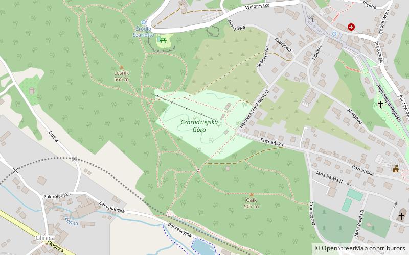
Czarodziejska Góra (address: Ul. Poznańska) is a place located in Jedlina-Zdrój (Lower Silesian voivodeship) and belongs to the category of climbing.
It is situated at an altitude of 1736 feet, and its geographical coordinates are 50°43'34"N latitude and 16°20'22"E longitude.
Among other places and attractions worth visiting in the area are: Mały Wołowiec, Wałbrzych (nature, 42 min walk), Cerkiew Wszystkich Świętych, Wałbrzych (church, 62 min walk), Mauzoleum, Wałbrzych (memorial, 84 min walk).
Coordinates: 50°43'34"N, 16°20'22"E
Address
Ul. PoznańskaJedlina-Zdrój
ContactAdd
Social media
Add
Day trips
Czarodziejska Góra – popular in the area (distance from the attraction)
Nearby attractions include: Galeria Victoria, Porcelain Museum, Grodno Castle, Old Mine.


