Potters’ Gate, Malbork
Facts and practical information
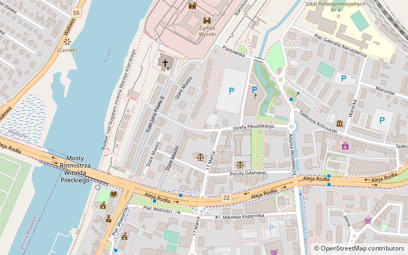
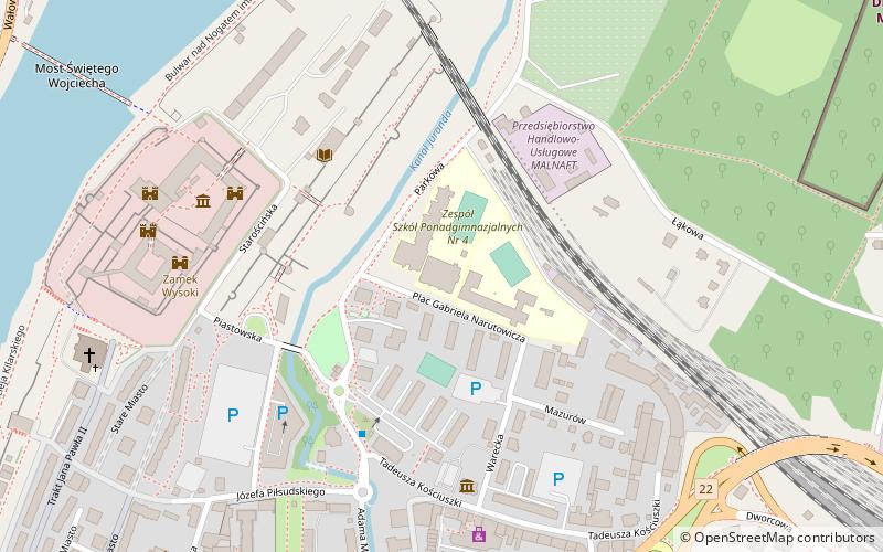
Potters’ Gate (address: Stare Miasto, Malbork) is a place located in Malbork (Pomeranian voivodeship) and belongs to the category of tower.
It is situated at an altitude of 52 feet, and its geographical coordinates are 54°2'13"N latitude and 19°1'42"E longitude.
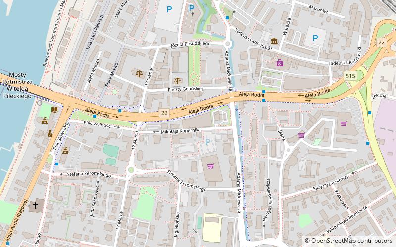
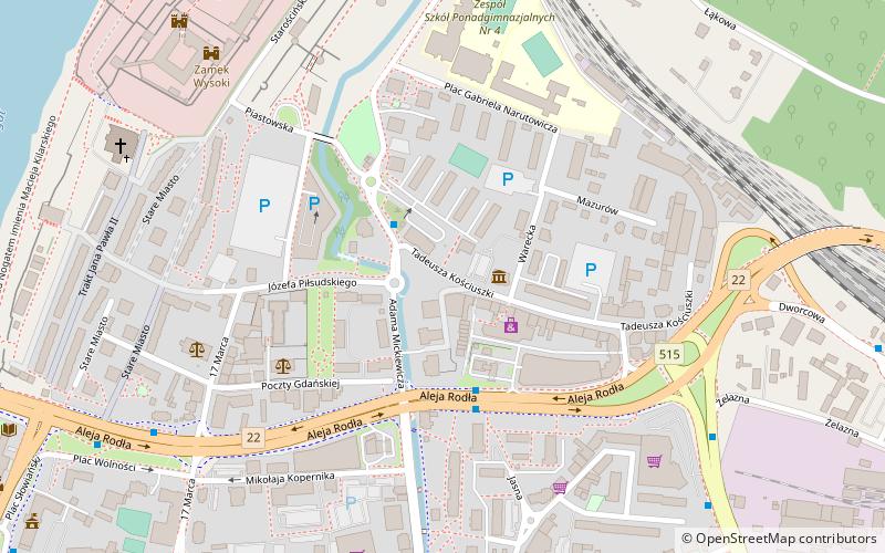
Planning a visit to this place, one can easily and conveniently get there by public transportation. Potters’ Gate is a short distance from the following public transport stations: Malbork (train, 16 min walk), Miejski Zakład komunikacji (bus, 31 min walk).
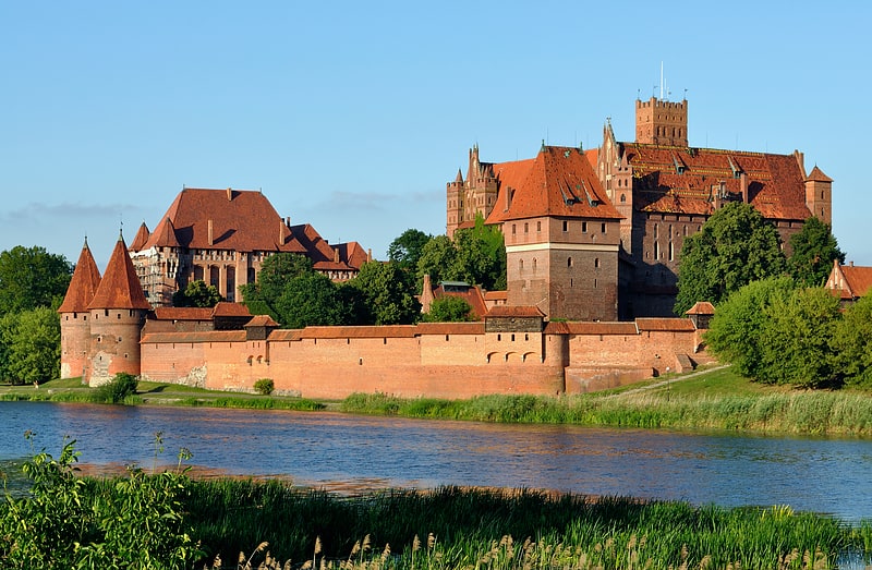
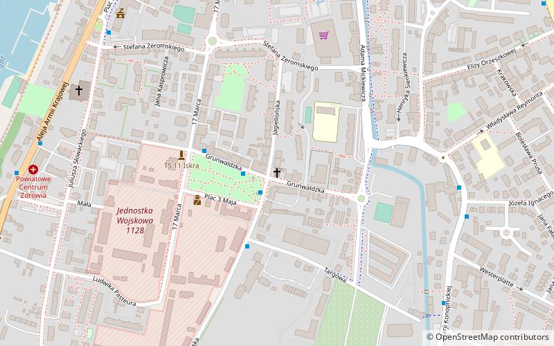
Among other places and attractions worth visiting in the area are: Church of St. John the Baptist (church, 4 min walk), Muzeum Zamkowe w Malborku (museum, 5 min walk), Centrum Handlowe Zawisza (shopping, 5 min walk).
Stare Miasto, MalborkMalbork
- Bus
- Train
 Bus
Bus
- Calculate routeMalbork 16 min walk
- Calculate routeMalbork Kałdowo 18 min walk
- Calculate routeMiejski Zakład komunikacji 31 min walk


Frequently Asked Questions (FAQ)
Which popular attractions are close to Potters’ Gate?
How to get to Potters’ Gate by public transport?
Train
- Malbork (16 min walk)
- Malbork Kałdowo (18 min walk)
Bus
- Miejski Zakład komunikacji (31 min walk)