Stare Bielsko, Bielsko-Biała
Map
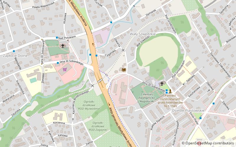
Map

Facts and practical information
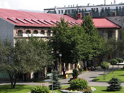
Stare Bielsko is an osiedle of Bielsko-Biała, Silesian Voivodeship, southern Poland. It is located in the west-north part of the city, in Silesian Foothills. Osiedle has an area of 11.118 km2 and on December 31, 2006 had 5,817 inhabitants. ()
Day trips
Stare Bielsko – popular in the area (distance from the attraction)
Nearby attractions include: Zamek Sułkowskich, Cathedral of St. Nicholas, Weaver's House Museum, Galeria BWA.
Frequently Asked Questions (FAQ)
Which popular attractions are close to Stare Bielsko?
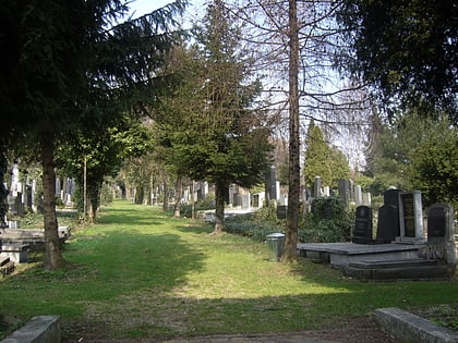
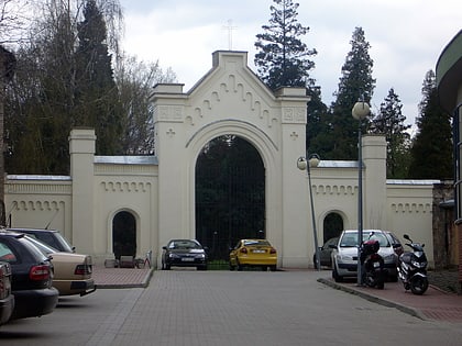
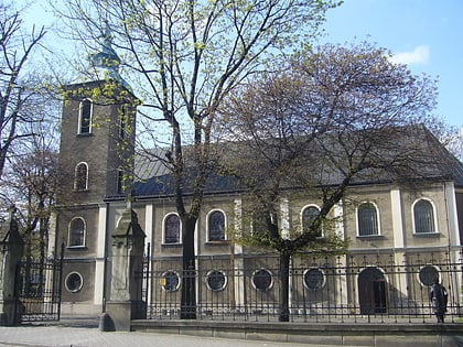
Nearby attractions include Parafia Ewangelicko-Augsburska w Starym Bielsku, Bielsko-Biała (3 min walk), Kościół Ewangelicko-Augsburski Jana Chrzciciela, Bielsko-Biała (4 min walk), Kościół pw. Świętego Stanisława Biskupa i Męczennika w Bielsku-Białej, Bielsko-Biała (6 min walk), Jewish Cemetery, Bielsko-Biała (15 min walk).
How to get to Stare Bielsko by public transport?
The nearest stations to Stare Bielsko:
Bus
Bus
- Osiedle Kopernika • Lines: 15 (13 min walk)
- Konopnickiej Pawilon • Lines: 15, 23 (14 min walk)


