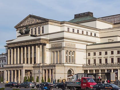
Plac Bankowy, Warsaw
Map
Map

Facts and practical information
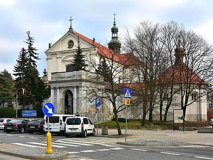
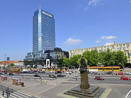
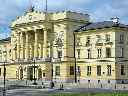
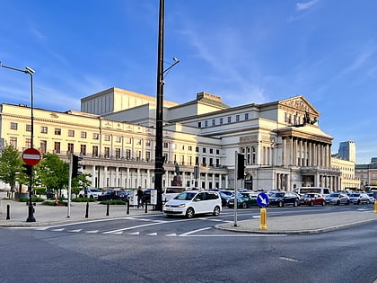
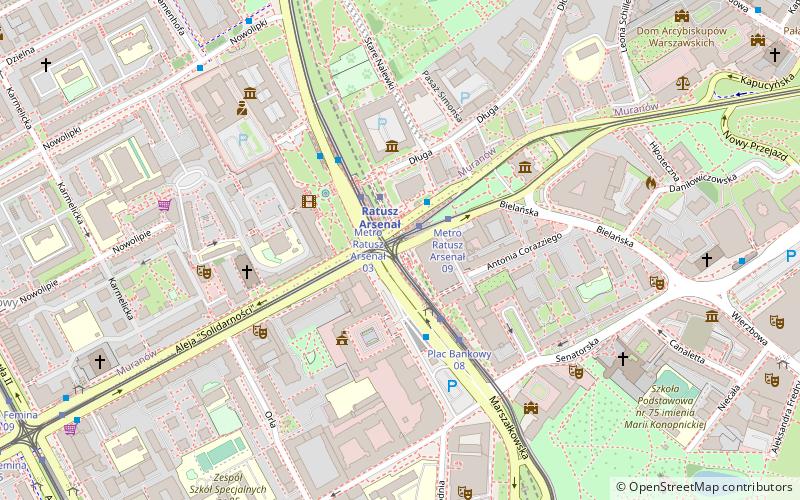
Plac Bankowy is one of Warsaw's principal squares. Located in the downtown district, adjacent to the Saxon Garden and Warsaw Arsenal, it is also a principal public-transport hub, with bus and streetcar stops and a Warsaw Metro station. ()
Day trips
Plac Bankowy – popular in the area (distance from the attraction)
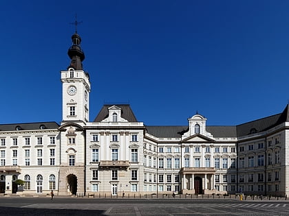
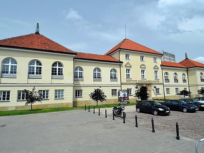
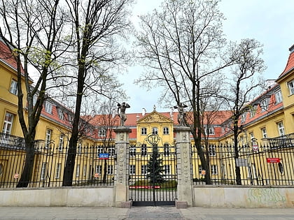
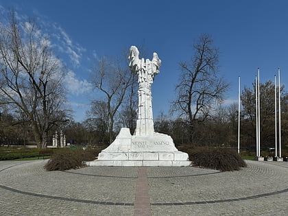
Nearby attractions include: Jabłonowski Palace, National Museum of Archaeology, Palace of the Four Winds, Monument to the Battle of Monte Cassino.
Frequently Asked Questions (FAQ)
Which popular attractions are close to Plac Bankowy?
Nearby attractions include Tłomackie Street, Warsaw (2 min walk), Jewish Historical Institute, Warsaw (2 min walk), Main Judaic Library, Warsaw (2 min walk), Palace of the Ministry of Revenues and Treasury, Warsaw (3 min walk).
How to get to Plac Bankowy by public transport?
The nearest stations to Plac Bankowy:
Bus
Tram
Metro
Train
Bus
- Metro Ratusz Arsenał 10 • Lines: 160, 190, N21, N71 (1 min walk)
- Metro Ratusz Arsenał 09 • Lines: 160, 190 (2 min walk)
Tram
- Metro Ratusz Arsenał 10 • Lines: 13, 20, 23, 26, 4 (1 min walk)
- Metro Ratusz Arsenał 03 • Lines: 15, 18, 35 (2 min walk)
Metro
- Ratusz Arsenał • Lines: M1 (2 min walk)
- Świętokrzyska • Lines: M1, M2 (18 min walk)
Train
- Warsaw City Center (28 min walk)
- Warsaw Central (28 min walk)

