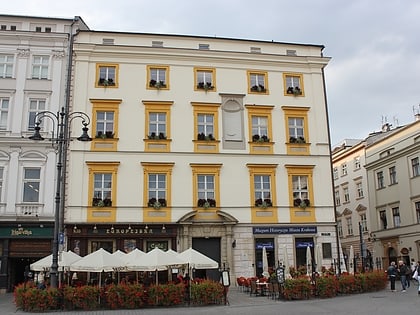
Szewska Street, Kraków
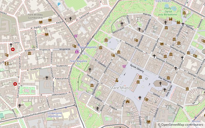
Map
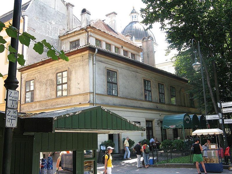
Gallery
Facts and practical information
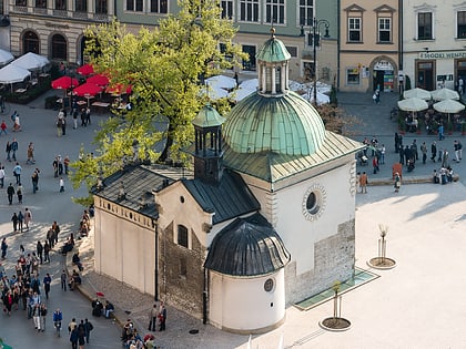
Szewska Street - a historic street in Kraków, Poland. The street begins at the Main Square from which it heads west, where it adjoins Podwale Street. Formerly, where Szewska met with Podwale Street stood the former suburb of Garbary with gristmills and royal fulling houses. Most of the street's buildings were built between the fourteenth and seventeenth-century. Szewska Street was part of the former Silesian Route. The street continues west as Karmelicka Street. ()
Address
Stare MiastoKraków
ContactAdd
Social media
Add
Day trips
Szewska Street – popular in the area (distance from the attraction)
Nearby attractions include: Sukiennice Museum, Church of St. Adalbert, Cloth Hall, Collegium Maius.
Frequently Asked Questions (FAQ)
Which popular attractions are close to Szewska Street?
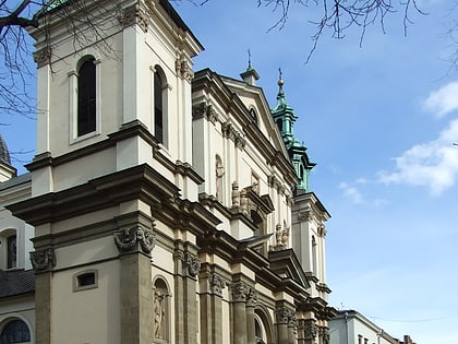
Nearby attractions include Palace of Art, Kraków (2 min walk), Church of St. Anne, Kraków (2 min walk), National Stary Theatre, Kraków (2 min walk), Świętej Anny Street, Kraków (2 min walk).
How to get to Szewska Street by public transport?
The nearest stations to Szewska Street:
Tram
Bus
Train
Tram
- Teatr Bagatela • Lines: 13, 14, 18, 2, 20, 24, 4, 64, 69, 8 (3 min walk)
- Uniwersytet Jagielloński • Lines: 20, 6 (6 min walk)
Bus
- Poczta Główna • Lines: 610 (11 min walk)
- Muzeum Narodowe • Lines: 124, 424, 502, 601, 611 (12 min walk)
Train
- Krakow Main Station (19 min walk)
- Kraków Zabłocie (37 min walk)


