Warszewo, Szczecin
Map
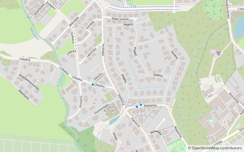
Map

Facts and practical information
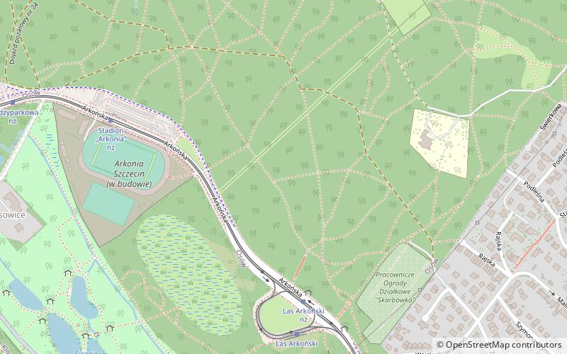
Warszewo is a municipal neighbourhood of the city of Szczecin, Poland situated on the left bank of Oder river, north-west of the Szczecin Old Town and Middle Town. It is situated on the southern edge of Puszcza Wkrzańska on Warszewo Hills c.a. 110 m. As of January 2011 it had a population of 7,522. ()
Address
Dzielnica Północ (Warszewo)Szczecin
ContactAdd
Social media
Add
Day trips
Warszewo – popular in the area (distance from the attraction)
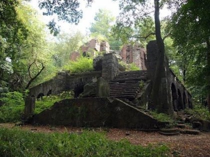
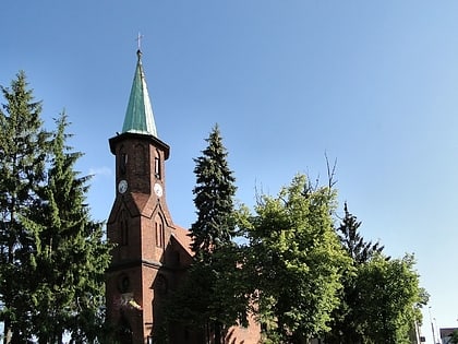
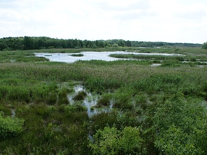
Nearby attractions include: Wieża Quistorpa, Kościół pw. św. Antoniego z Padwy, Zespół przyrodniczo-krajobrazowy „Wodozbiór”, Niemierzyn.
Frequently Asked Questions (FAQ)
Which popular attractions are close to Warszewo?
Nearby attractions include Kościół pw. św. Antoniego z Padwy, Szczecin (10 min walk), Osów, Szczecin (23 min walk).
How to get to Warszewo by public transport?
The nearest stations to Warszewo:
Bus
Tram
Bus
- Wapienna • Lines: 522, 530, 57, 87, 99 (10 min walk)
- Podbórzańska Ogrody • Lines: 530, 87 (11 min walk)
Tram
- Stadion Arkonia” nż • Lines: 3 (36 min walk)
- Las Arkoński nż • Lines: 3 (36 min walk)

