Lake Dobczyce
Map

Map

Facts and practical information
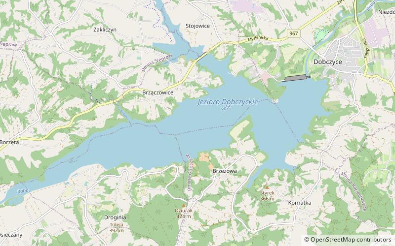
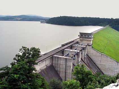
Lake Dobczyce is an artificial lake, built in 1985 - 1987. It is located in southern Poland, thirty kilometers south of Kraków. The lake, which lies between the Island Beskids, and the Wieliczka Foothills, was built to regulate the Raba river between the towns of Dobczyce and Myślenice. The Raba river dam has the length of 617 meters, and the height of 30 meters. ()
Local name: Jezioro Dobczyckie Length: 4.97 miWidth: 3281 ftMaximum depth: 92 ftElevation: 873 ft a.s.l.Coordinates: 49°51'59"N, 20°2'43"E
Location
Lesser Poland
ContactAdd
Social media
Add
Day trips
Lake Dobczyce – popular in the area (distance from the attraction)
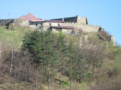
Nearby attractions include: Zamek Dobczyce, Dekada Myślenice.


