Góra Myślęcińska, Bydgoszcz
Map

Map

Facts and practical information
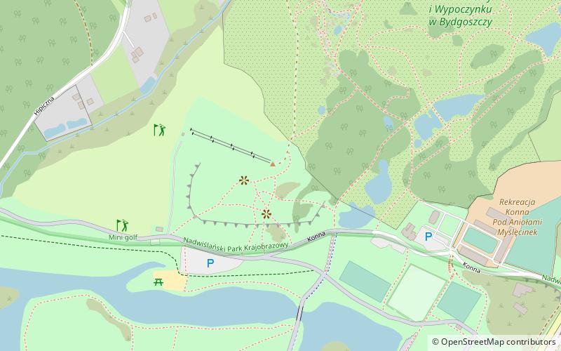
Myślęcinska Mountain - an upland hill in the Fordon Slope in Bydgoszcz, within the area of the Forest Park of Culture and Recreation. It is the highest topographic point on the territory of the city of Bydgoszcz, rising to a height of 107 m above sea level. On its slope, there is a seasonally snowed ski slope with a ski-lift and a downhill bike track.
Coordinates: 53°10'6"N, 18°2'8"E
Address
Północny Pas Rekreacyjny (Myślęcinek)Bydgoszcz
ContactAdd
Social media
Add
Day trips
Góra Myślęcińska – popular in the area (distance from the attraction)
Nearby attractions include: Gdańska Street, Ogród Zoologiczny w Bydgoszczy, Leśny Park Kultury i Wypoczynku "Myślęcinek", Ogród Botaniczny Leśnego Parku Kultury i Wypoczynku w Bydgoszczy.
Frequently Asked Questions (FAQ)
Which popular attractions are close to Góra Myślęcińska?
Nearby attractions include Ogród Botaniczny Leśnego Parku Kultury i Wypoczynku w Bydgoszczy, Bydgoszcz (8 min walk), Ogród Fauny Polskiej, Bydgoszcz (11 min walk), Ogród Zoologiczny w Bydgoszczy, Bydgoszcz (11 min walk), Gdańska Street, Bydgoszcz (14 min walk).


