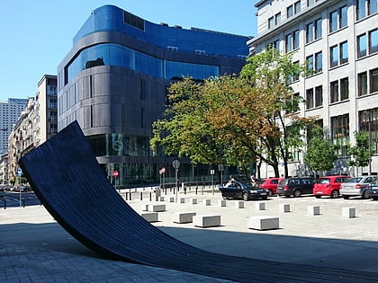
Plac Trzech Krzyży, Warsaw
Map
Map

Facts and practical information
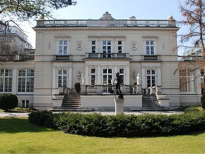
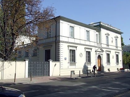
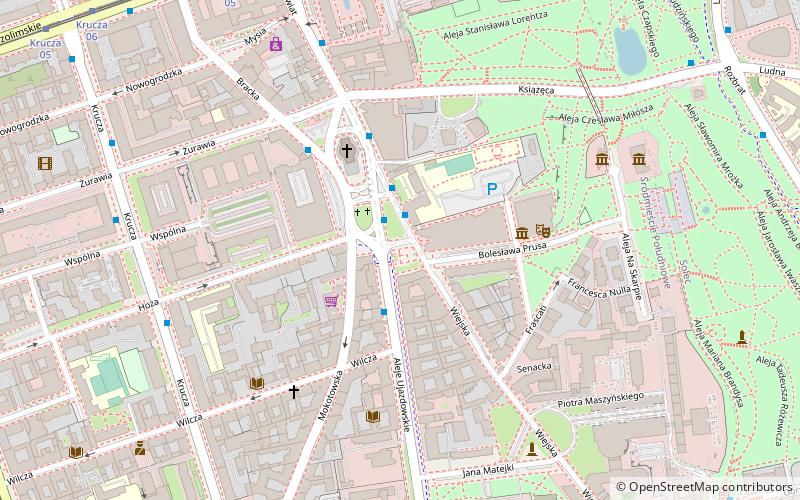
Three Crosses Square is an important square in the central district of Warsaw, Poland. It lies on that city's Royal Route and links Nowy Świat Street, to the north, with Ujazdów Avenue to the south. ()
Day trips
Plac Trzech Krzyży – popular in the area (distance from the attraction)
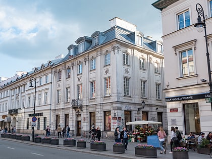
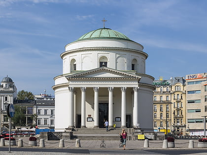
Nearby attractions include: Nowy Świat Street, National Museum, Polish Army Museum, St. Alexander's Church.
Frequently Asked Questions (FAQ)
Which popular attractions are close to Plac Trzech Krzyży?
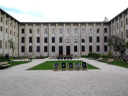
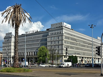
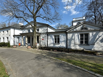
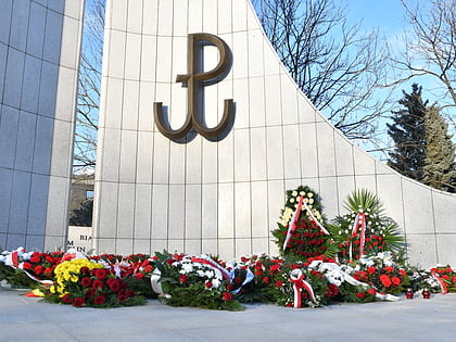
Nearby attractions include St. Alexander's Church, Warsaw (3 min walk), Museum of Scouting, Warsaw (3 min walk), Warsaw Stock Exchange, Warsaw (5 min walk), Monument to the Polish Underground State and Home Army, Warsaw (6 min walk).
How to get to Plac Trzech Krzyży by public transport?
The nearest stations to Plac Trzech Krzyży:
Bus
Tram
Train
Metro
Bus
- Plac Trzech Krzyży 02 • Lines: 116, 180, 195, 222, 503, E-2 (1 min walk)
- Plac Trzech Krzyży 07 • Lines: 518 (1 min walk)
Tram
- Muzeum Narodowe 06 • Lines: 22, 24, 25, 7, 9 (8 min walk)
- Krucza 05 • Lines: 22, 24, 25, 7, 9 (10 min walk)
Train
- Warszawa Powiśle (12 min walk)
- Warsaw City Center (18 min walk)
Metro
- Centrum • Lines: M1 (16 min walk)
- Nowy Świat-Uniwersytet • Lines: M2 (18 min walk)

