Rozsypaniec, Bieszczady National Park


Facts and practical information
Rozsypaniec - a peak in the Western Bieszczady Mountains.
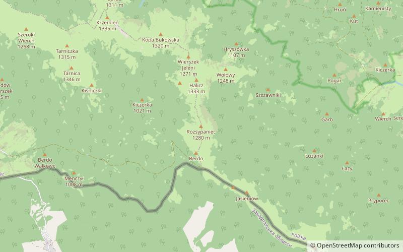
It is located in the Płoniny range, in the southeastern part of the Bieszczady National Park. It belongs to the ridge running from Krzemienie to Bukowska Pass, near which it joins the main, watershed ridge of the Carpathians. On Mt Rozsypaniec it has a meridian course. Bukowska Pass, through which runs the border with Ukraine, neighbors with Rozsypaniec from the south, while in the north an unnamed pass separates it from Halicz. The western slope descends to the Wołosatka valley, and the eastern to the Halicz stream. Both these watercourses belong to the Vistula river basin and the catchment area of the Baltic Sea. The southern slope, located in Ukraine, on the other side of the watershed, is drained by the Moszka Creek, which has its source in the basin of the Black Sea.
From the height of 1100-1200 m the slopes of Rozsypaniec are covered by the forest, thanks to which from the summit there are views of the group of Tarnica on the Polish side, the border, extensive Kinczyk Bukovski and numerous ranges of the Ukrainian West and East Bieszczady, including the highest Pikuj. It owes its name to the numerous rocks characteristically scattered on the slopes.
On the south-western slope there is a road from Wolosate to Bukowska Pass, which was closed for traffic.
Bieszczady National Park
Rozsypaniec – popular in the area (distance from the attraction)
Nearby attractions include: Krzemień, Kopa Bukowska, Muzeum Turystyki Górskiej, Halicz.


