Rakowice, Kraków
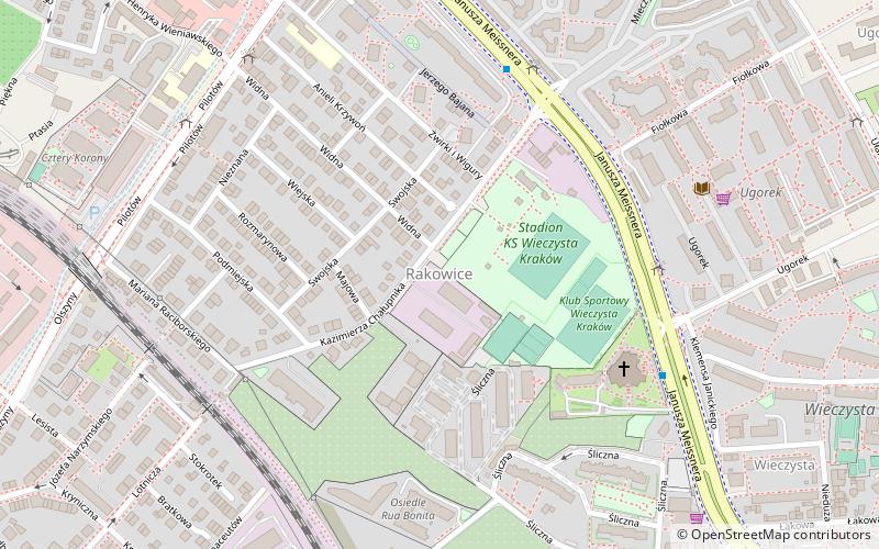
Map
Map

Facts and practical information
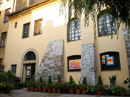
Rakowice, formerly a village – is an urban area in Kraków, Poland, part of both: District III Prądnik Czerwony and District XIV Czyżyny. Currently, the neighborhood is heavily urbanized, with a small amount of parks. The predominant structures are apartment buildings and detached houses. Rakowice is often confused with the Rakowicki Cemetery and Rakowicka street – the old 2-kilometre-long road leading to former village. ()
Address
Prądnik Czerwony (Rakowice)Kraków
ContactAdd
Social media
Add
Day trips
Rakowice – popular in the area (distance from the attraction)
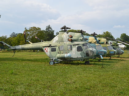
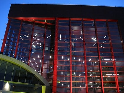
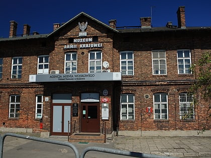
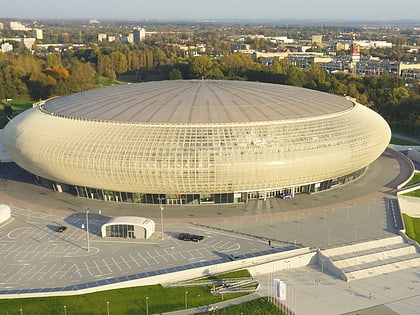
Nearby attractions include: Polish Aviation Museum, Botanical Garden, Tauron Arena, Rakowicki Cemetery.
Frequently Asked Questions (FAQ)
Which popular attractions are close to Rakowice?
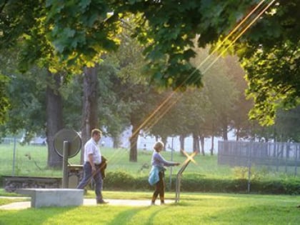
Nearby attractions include Prądnik Czerwony, Kraków (15 min walk), Polish Aviation Museum, Kraków (19 min walk), Cmentarz Rakowicki Wojskowy, Kraków (23 min walk), Park Lotników Polskich, Kraków (23 min walk).
How to get to Rakowice by public transport?
The nearest stations to Rakowice:
Bus
Tram
Train
Bus
- Akacjowa • Lines: 124 (11 min walk)
- Białucha • Lines: 664 (16 min walk)
Tram
- TAURON Arena Kraków Wieczysta • Lines: 10, 12, 4, 44, 49, 5, 52, 64, 9 (13 min walk)
- Tauron Arena Kraków Wieczysta • Lines: 12, 49 (14 min walk)
Train
- Kraków Olsza (18 min walk)

