Otmuchów Lake
Map
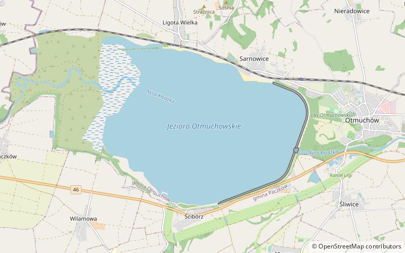
Map

Facts and practical information
Otmuchów Lake is a dam reservoir and retention reservoir built in the years 1928 to 1933, known by the former name Staubecken Ottmachau and situated on the river Nysa Kłodzka, just to the North of the town Otmuchów. At the maximum level of damming at 18.6 metres the reservoir has an area of 20,6 km² and the capacity 130,45 hm³. ()
Local name: Jezioro Otmuchowskie Area: 7.95 mi²Average depth: 60 ftElevation: 679 ft a.s.l.Coordinates: 50°27'50"N, 17°7'8"E
Location
Opole
ContactAdd
Social media
Add
Day trips
Otmuchów Lake – popular in the area (distance from the attraction)
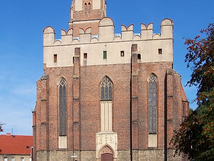
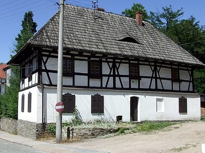
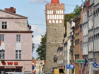
Nearby attractions include: City Hall, Otmuchów Castle, Otmuchów Town Hall, St. John the Evangelist's Church.


