Sulejowski Reservoir
Map
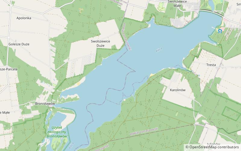
Map

Facts and practical information
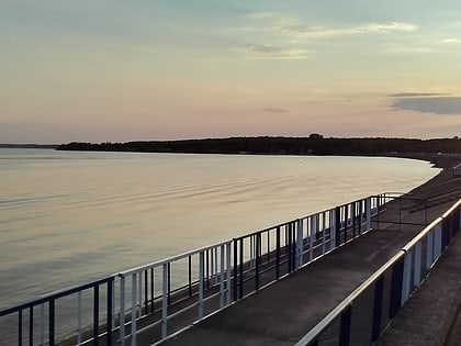
The Sulejowski Reservoir is an artificial lake, a reservoir created by a dam, built in the years 1969-1974 in the Łódź Voivodeship. The aim of this reservoir was to supply fresh drinking water to the city of Łódź and Tomaszów Mazowiecki. At full capacity the reservoir contains up to 95,000,000 cubic metres of water and has an average depth of 3.3 metres. ()
Local name: Zalew Sulejowski Built: 1969 (57 years ago)Length: 10.63 miWidth: 6890 ftMaximum depth: 36 ftElevation: 522 ft a.s.l.Coordinates: 51°27'6"N, 19°57'14"E
Location
Łódź
ContactAdd
Social media
Add
Day trips
Sulejowski Reservoir – popular in the area (distance from the attraction)
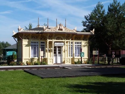
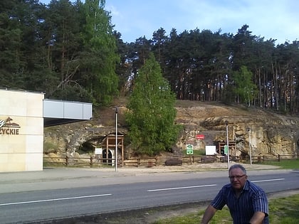
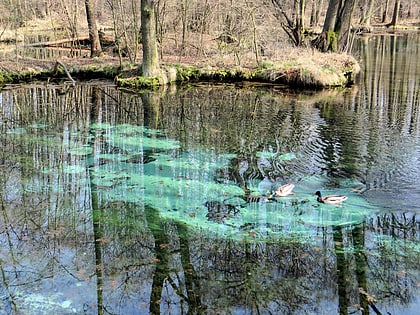
Nearby attractions include: Pilica River Skansen, Groty Nagórzyckie, Rezerwat Niebieskie Źródła, Kościół Świętej Trójcy.
