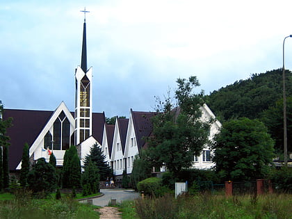
Wiecha, Gdańsk
Map
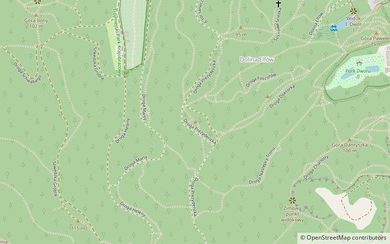
Map

Facts and practical information
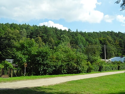
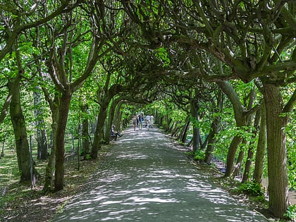
Wiecha - a hill 112 m above sea level located in Pomeranian Voivodeship in the area of the city of Gdańsk, within the Tri-City Landscape Park.
In 1877 called Neue Aussicht, in 1898 Wächterberg - German personal name from Wächter. The name Wiecha was introduced in 1949, replacing previous official name of former Free City of Danzig Wächter Berg.
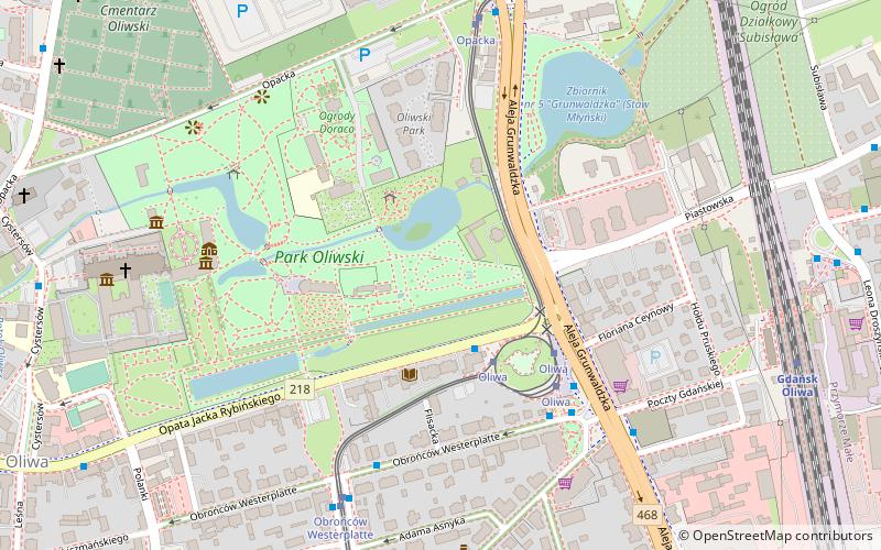
To the south of the "Wiecha" hill at a distance of about 400 m is the Głowica hill, while to the east at a distance of about 400 m is Mount Dantyszka.
Address
OliwaGdańsk
ContactAdd
Social media
Add
Day trips
Wiecha – popular in the area (distance from the attraction)
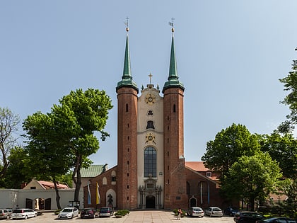
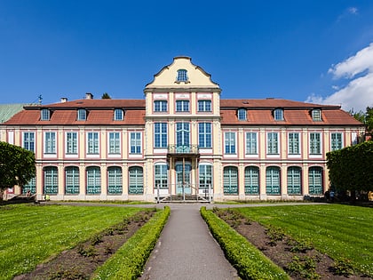
Nearby attractions include: Oliwa Cathedral, Abbot's Palace, Oliwa, Oliwa Park.
Frequently Asked Questions (FAQ)
Which popular attractions are close to Wiecha?
Nearby attractions include Góra Dantyszka, Gdańsk (8 min walk), Kuźnia Wodna, Gdańsk (15 min walk), Oliwa, Gdańsk (15 min walk), Targowisko w Oliwie, Gdańsk (16 min walk).
How to get to Wiecha by public transport?
The nearest stations to Wiecha:
Bus
Tram
Train
Bus
- Cystersów • Lines: 171 (16 min walk)
- Jasia i Małgosi • Lines: 149 (16 min walk)
Tram
- Derdowskiego • Lines: 12, 6, N0 (16 min walk)
- Tetmajera • Lines: 12, 6, N0 (17 min walk)
Train
- Gdańsk Przymorze - Uniwersytet (28 min walk)
- Gdańsk Strzyża (34 min walk)
