plac Tobrucki, Szczecin
Map
Map

Facts and practical information
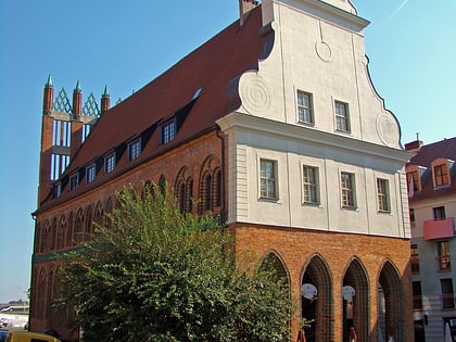
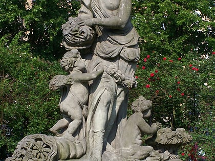
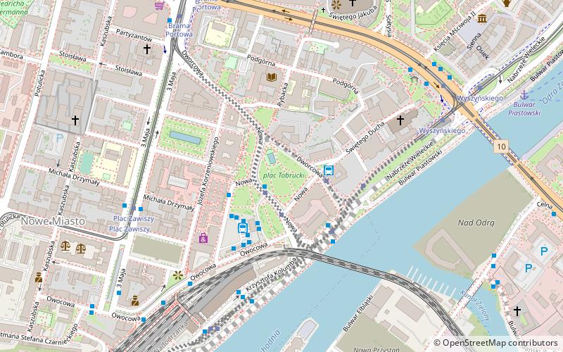
Tobrucki Square - a square in Szczecin between Dworcowa, Św. Ducha and Nowa Streets. On the square there is a monument with an anchor, on which before the war stood a sculpture of Sedina and the Red Town Hall, as well as the bus station. From the square diverge: Nowa Street, Dworcowa Street, Świętopełka Street, Rybacka Street, Owocowa Street and Św. Ducha Street.
Streetcar line 3 runs through the square, and there is also one of Szczecin's 19th century pumps on the square.
Elevation: 33 ft a.s.l.Coordinates: 53°25'17"N, 14°33'14"E
Address
Dzielnica Śródmieście (Nowe Miasto)Szczecin
ContactAdd
Social media
Add
Day trips
plac Tobrucki – popular in the area (distance from the attraction)
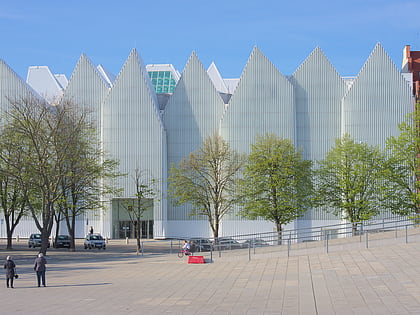
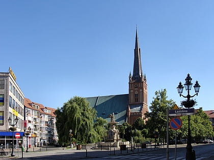
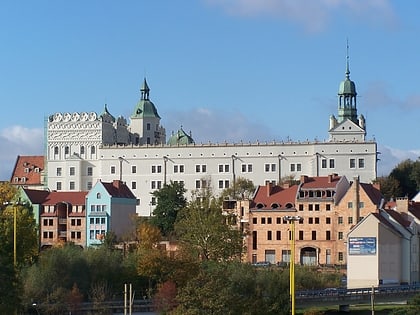
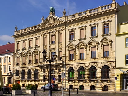
Nearby attractions include: Szczecin Philharmonic, Szczecin Cathedral, Ducal Castle, Art Academy of Szczecin.
Frequently Asked Questions (FAQ)
Which popular attractions are close to plac Tobrucki?
Nearby attractions include Fontanna Manzla, Szczecin (1 min walk), Pomeranian Medical University in Szczecin, Szczecin (3 min walk), Książnica Pomorska, Szczecin (4 min walk), Kościół świętego Jana Ewangelisty, Szczecin (5 min walk).
How to get to plac Tobrucki by public transport?
The nearest stations to plac Tobrucki:
Bus
Tram
Train
Bus
- Plac Tobrucki • Lines: 521, 527, 528, 61, 75, 806, 87 (1 min walk)
- Szczecin d.a. (3 min walk)
Tram
- Plac Zawiszy • Lines: 10, 9 (5 min walk)
- Wyszyńskiego • Lines: 2, 6, 7, 8 (7 min walk)
Train
- Szczecin Główny (8 min walk)
- Szczecin Port Centralny (20 min walk)

