Kępa, Babia Góra National Park

Facts and practical information
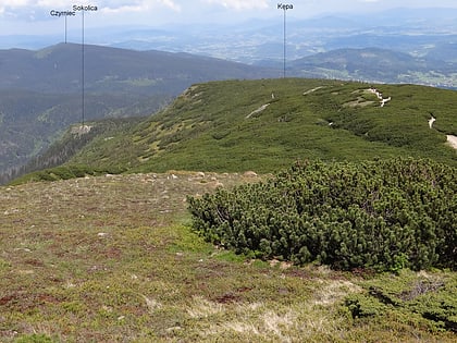
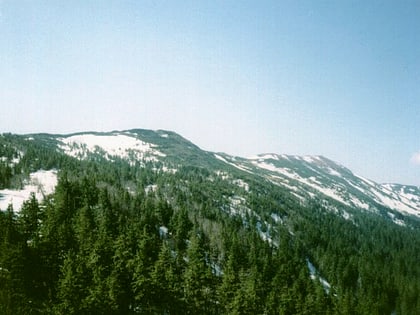
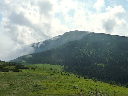
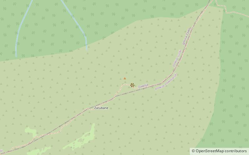
Kępa - one of the culminations of the Babia Góra massif in the Beskid Żywiecki. It is located in the eastern ridge of Mt Diablak, between Mt Gówniak and Mt Sokolica. The northern slopes are in the upper part much steeper than the south-eastern ones. Behind Kępa there is a 300 m long upland called Zarubany.
In March 1944, a German Junkers Ju52/3m transport plane crashed on the northern slopes of Kepa during a forced landing in the dwarf pine. Out of three crew members two survived the crash. The Germans removed the most important equipment from the plane and blew up the wreckage.
The cleft is located in the mountain pine forest and is almost completely covered with dwarf pine. The red marked tourist trail leads through it from Krowiarek to the peak of Mount Babia. This is a section of the Main Beskid Trail. On the right side of the route, in the dwarf pine, on the section from Kepa to Gówniak, there is a ridge ditch called Zimna Dolinka, and in it there is the Cold Pond, invisible from the tourist route.
Babia Góra National Park
Kępa – popular in the area (distance from the attraction)
Nearby attractions include: Babia Góra, National Parks of Poland, Orava Beskids, Gówniak.
