Piotrkowska Street, Łódź
Map
Gallery
Facts and practical information
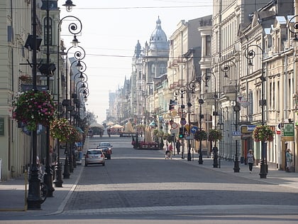
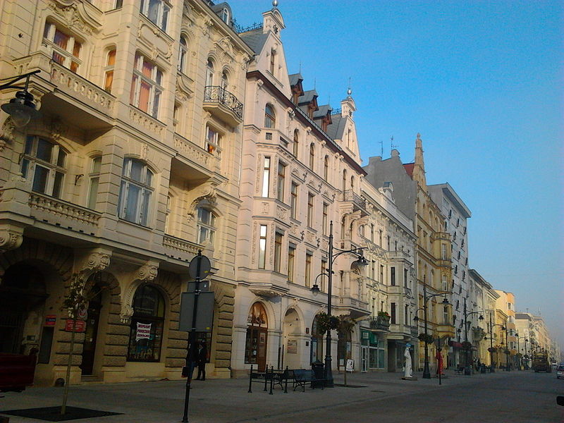
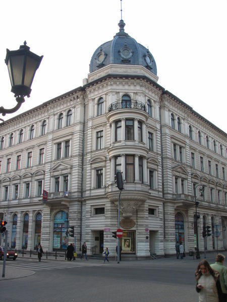
Piotrkowska Street, the main artery of Łódź, Poland, is one of the longest commercial thoroughfares in Europe, with a length of around 4.2 km. It is one of the major tourist attractions of the city. It runs longitudinally in the straight line between the Liberty Square and the Independence Square. ()
Address
Śródmieście (Katedralna)Łódź
ContactAdd
Social media
Add
Day trips
Piotrkowska Street – popular in the area (distance from the attraction)
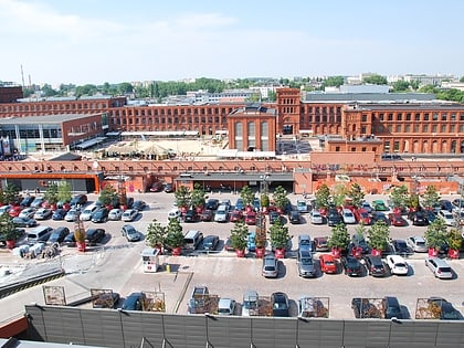
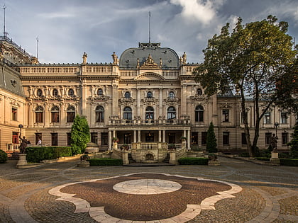
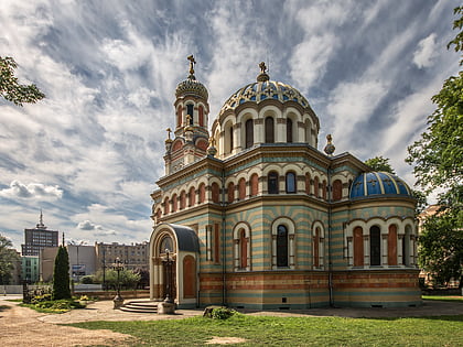
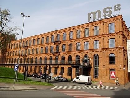
Nearby attractions include: Manufaktura, Izrael Poznański Palace, Museum of Art, Alexander Nevsky Cathedral.
Frequently Asked Questions (FAQ)
Which popular attractions are close to Piotrkowska Street?
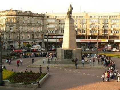
Nearby attractions include Kościół Zesłania Ducha Świętego, Łódź (1 min walk), Muzeum Archeologiczne i Etnograficzne, Łódź (2 min walk), Pomnik Tadeusza Kościuszki, Łódź (2 min walk), Dętka, Łódź (2 min walk).
How to get to Piotrkowska Street by public transport?
The nearest stations to Piotrkowska Street:
Bus
Tram
Train
Bus
- pl. Wolności • Lines: 59, 73, 78, 87A, 87B, Manufaktura (1 min walk)
- Legionów - Zachodnia • Lines: 59, 73, 78, 87A, 87B (2 min walk)
Tram
- Pomorska - pl. Wolności • Lines: 15, 17, 4, 45 (3 min walk)
- Zachodnia - Legionów • Lines: 11A, 11B, 2, 3B, 6, 7A, 7B (3 min walk)
Train
- Łódź Fabryczna (20 min walk)
