Regional Museum, Zielona Góra
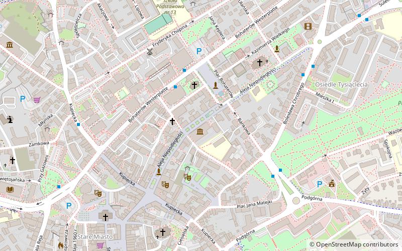
Map

Map

Facts and practical information
Museum of Lubuska Land in Zielona Góra - collects and protects the material and spiritual cultural heritage of the lands on the middle Oder River, which were given the name "Lubuska Land" after World War II. An important task of the museum is also dissemination of knowledge about history, culture, traditions and monuments of the region.
Coordinates: 51°56'30"N, 15°30'32"E
Day trips
Regional Museum – popular in the area (distance from the attraction)
Nearby attractions include: Zielon Góra Philharmonic, Centrum Nauki Keplera - Planetarium Wenus, Co-Cathedral of St. Jadwiga of Silesia, Kościół pw. Najświętszego Zbawiciela.
Frequently Asked Questions (FAQ)
Which popular attractions are close to Regional Museum?
Nearby attractions include Evangelical Church, Zielona Góra (2 min walk), Kościół pw. Najświętszego Zbawiciela, Zielona Góra (5 min walk), Co-Cathedral of St. Jadwiga of Silesia, Zielona Góra (6 min walk), Pomnik Dobosza, Zielona Góra (6 min walk).
How to get to Regional Museum by public transport?
The nearest stations to Regional Museum:
Bus
Train
Bus
- Centrum • Lines: , 6, 8 (3 min walk)
- Urząd Miasta • Lines: 25, 6 (5 min walk)
Train
- Zielona Góra Główna (12 min walk)


