Włocławek Rowing Society, Włocławek
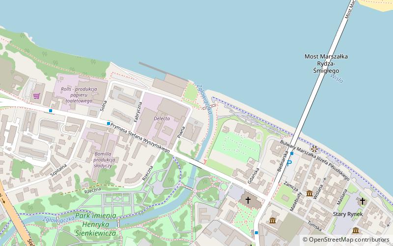
Map
Facts and practical information
The Włocławek Rowing Society - a rowing sports club, founded in 1886 in Włocławek. A founding member of the Polish Rowing Societies Association. In the years 1921-1939 it functioned under the name "Rowing Society in Włocławek" and in the years 1945-1949 as the "Rowing Society". ()
Address
Włocławek
ContactAdd
Social media
Add
Getting there by public transportation
Public transportation stops near this location
- Bus
- Train
 Bus
Bus
- Calculate routeWyszyńskiego 7 min walk
- Calculate routePlac Kopernika 6 min walk
- Calculate routeBrzeska 8 min walk
- Calculate routeWłocławek 19 min walk
- Calculate routeWłocławek Zazamcze 30 min walk
Day trips
Włocławek Rowing Society – popular in the area (distance from the attraction)
Nearby attractions include: Ethnographic Museum, Henryk Sienkiewicz Park, Basilica Cathedral of St. Mary of the Assumption, Parish of the Holiest Saviour.


Frequently Asked Questions (FAQ)
Which popular attractions are close to Włocławek Rowing Society?
Nearby attractions include Basilica Cathedral of St. Mary of the Assumption, Włocławek (5 min walk), Henryk Sienkiewicz Park, Włocławek (6 min walk), Muzeum Diecezjalne, Włocławek (6 min walk), St. Vitalis Church, Włocławek (7 min walk).
How to get to Włocławek Rowing Society by public transport?
The nearest stations to Włocławek Rowing Society:
Bus
Train
Bus
- Wyszyńskiego • Lines: 12 (7 min walk)
- Plac Kopernika • Lines: 1, 12, 9 (6 min walk)
Train
- Włocławek (19 min walk)
- Włocławek Zazamcze (30 min walk)