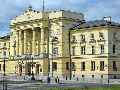
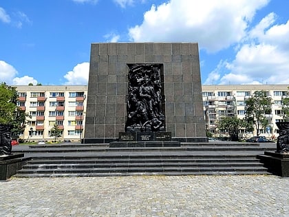
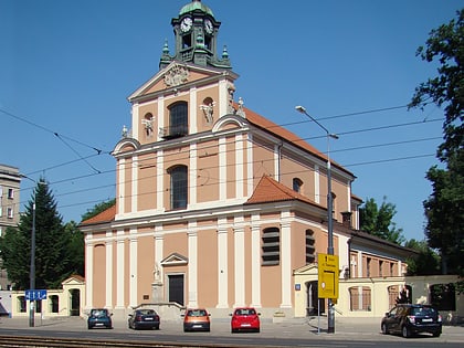
Memorial Route of Jewish Martyrdom and Struggle, Warsaw
Map
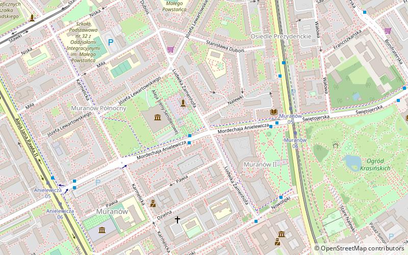
Map

Facts and practical information
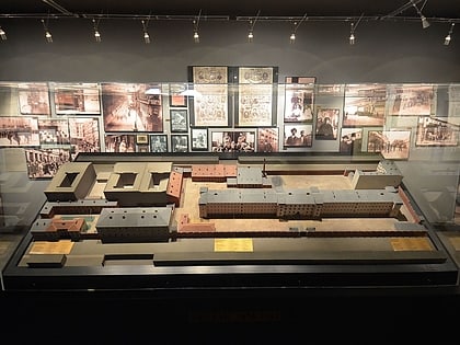
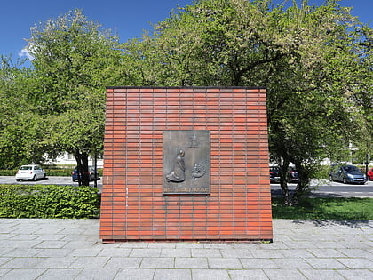
The Memorial Route of Jewish Martyrdom and Struggle in Warsaw is located the Muranów district to commemorate people, events and places of the Warsaw Ghetto during the German occupation of Poland. ()
Address
Śródmieścia (Muranów)Warsaw
ContactAdd
Social media
Add
Day trips
Memorial Route of Jewish Martyrdom and Struggle – popular in the area (distance from the attraction)
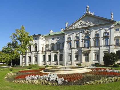
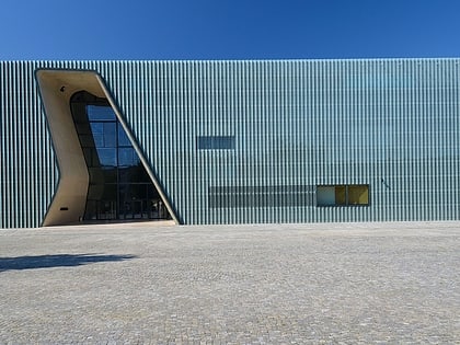
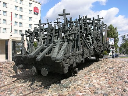
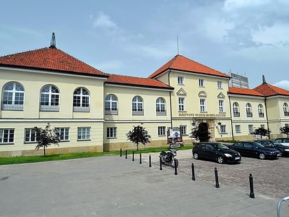
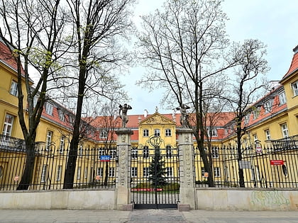
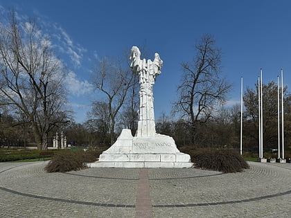
Nearby attractions include: Krasiński Palace, POLIN Museum of the History of Polish Jews, Pawiak, Monument to the Fallen and Murdered in the East.
Frequently Asked Questions (FAQ)
Which popular attractions are close to Memorial Route of Jewish Martyrdom and Struggle?
Nearby attractions include Żegota Monument, Warsaw (2 min walk), Pomnik Bohaterów Getta, Warsaw (2 min walk), Nalewki Street, Warsaw (2 min walk), POLIN Museum of the History of Polish Jews, Warsaw (3 min walk).
How to get to Memorial Route of Jewish Martyrdom and Struggle by public transport?
The nearest stations to Memorial Route of Jewish Martyrdom and Struggle:
Bus
Tram
Metro
Train
Bus
- Muranów 03 • Lines: 111, 180, N41 (4 min walk)
- Muranów 04 • Lines: 180 (4 min walk)
Tram
- Muranów 05 • Lines: 15, 18, 35 (5 min walk)
- Anielewicza 06 • Lines: 17, 33, 41 (8 min walk)
Metro
- Ratusz Arsenał • Lines: M1 (10 min walk)
- Dworzec Gdański • Lines: M1 (16 min walk)
Train
- Warszawa Gdańska (18 min walk)
- Warszawa Powązki (28 min walk)

